
Set against the majestic backdrop of the Sierra Nevada, Granada is a well-established cycling destination in Southern Spain. Its diverse landscapes -from challenging mountain climbs and serene valleys to historic towns and scenic countryside -offer an unforgettable experience for passionate cyclists.

The Alpujarra is a stunning region at the southern slopes of the Sierra Nevada mountains, known for its picturesque white-washed villages and breathtaking landscapes. This ride takes you through the heart of the Alpujarra, offering a unique blend of challenging climbs and rewarding descents, all while surrounded by the stunning scenery of the Sierra Nevada National Park.
👉 Check out this post to learn more about this ride.

This is one of the favorite loops of the pros when preparing for the Tour de France. The route takes you around the Sierra de Tejeda, offering a mix of challenging climbs and scenic descents. The roads are generally in good condition, and the traffic is light, making it a great option for cyclists of all levels. The views of the Sierra Nevada mountains are simply breathtaking, and the ride is a perfect way to experience the natural beauty of the region.
👉 Check out this post to learn more about this ride.

The Goat's Path is an epic climb that you must do when you're in the area. Starting in Almuñécar, the route takes you through the stunning Sierras de Tejeda, Almijara y Alhama hills, offering breathtaking views of the Mediterranean Sea and the surrounding countryside. The climb is challenging, but the scenery is simply breathtaking. The route is also known for its unique rock formations and diverse flora and fauna, making it a must-ride for any cycling enthusiast.
👉 Check out this post to learn more about this ride.

The climb of the Haza del Lino won't win any beauty contests, but it is a great climb due to its length, gradient, and thin traffic. At the top, you ride on the ridge with spectacular views of the Sierra Nevada on your left, and the Mediterranean Sea on your right.
👉 Check out this post to learn more about this ride.

No list would be complete without mentioning the Sierra Nevada. This is the highest mountain range in continental Spain, and as a result, the statistics of this climb are impressive. The world's best pros frequent this mountain range when preparing for the Tour de France, and for good reason. The climb is long, steep, and challenging, but the views from the top are staggering. And what awaits you at the bottom, the magnificent city of Granada, is the cherry on the cake.
👉 Check out this post to learn more about this ride.
All routes
All the 12 rides in Granada in one handy overview.
Granada
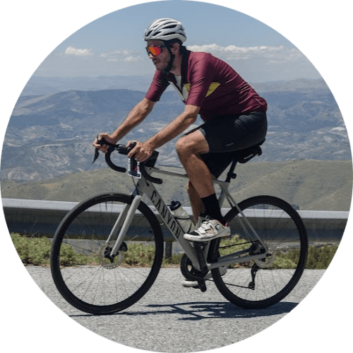
Hendrik Bulens
The average cyclist exploring cycling routes worldwide, particularly in Andalucía, Spain. Sharing expert guides on scenic bike routes for regular cyclists planning their next adventure.
Ride these routes
Routes from the area mentioned in this article.

Haza del Lino
Not yet discovered by the masses, this is a gem of a ride.

Ruta de la Cabra
The Goat's Path is an absolute beauty and must-do when you're in the area.

Sierra de Tejeda
One of the favorite loops of the pros when preparing for the Tour de France.
Related Articles
Top 5 cycling routes in Granada
Explore the best cycling routes in Granada. Snow-capped mountain climbs, empty valleys, butter-smooth roads, and historic cities are perfect for your next cycling holiday in Spain.

Top 5 cycling routes in Málaga
Explore the best cycling routes in Málaga. Sunny coastal rides, mountain climbs, and scenic roads perfect for your next cycling holiday in Spain.

Top 5 cycling routes in Girona
Discover the best cycling routes in Girona for your next holiday. Scenic climbs, quiet roads, and unforgettable rides in Catalonia's cycling paradise.