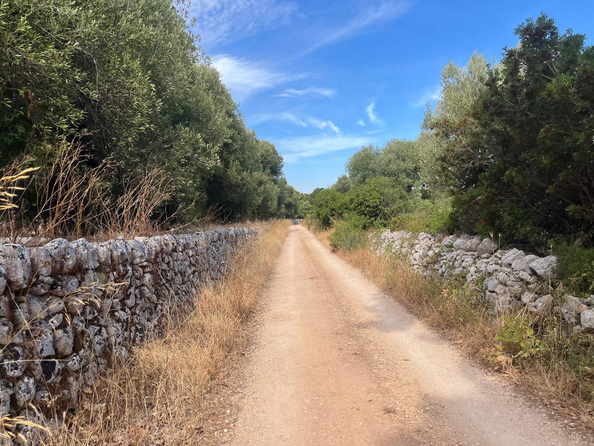
A 52 km loop that takes you from the trulli country on the Murgia plateau all the way down to the Adriatic and back up again. It is the simplest idea of the three Puglia rides on this site, and probably the best: drop 380 metres to the sea on quiet lanes, put your feet in the water, then earn it back on the way home.
Start point is Contrada Marangiulo, in the countryside a few kilometres east of Cisternino, the same place the other two loops begin.
The route
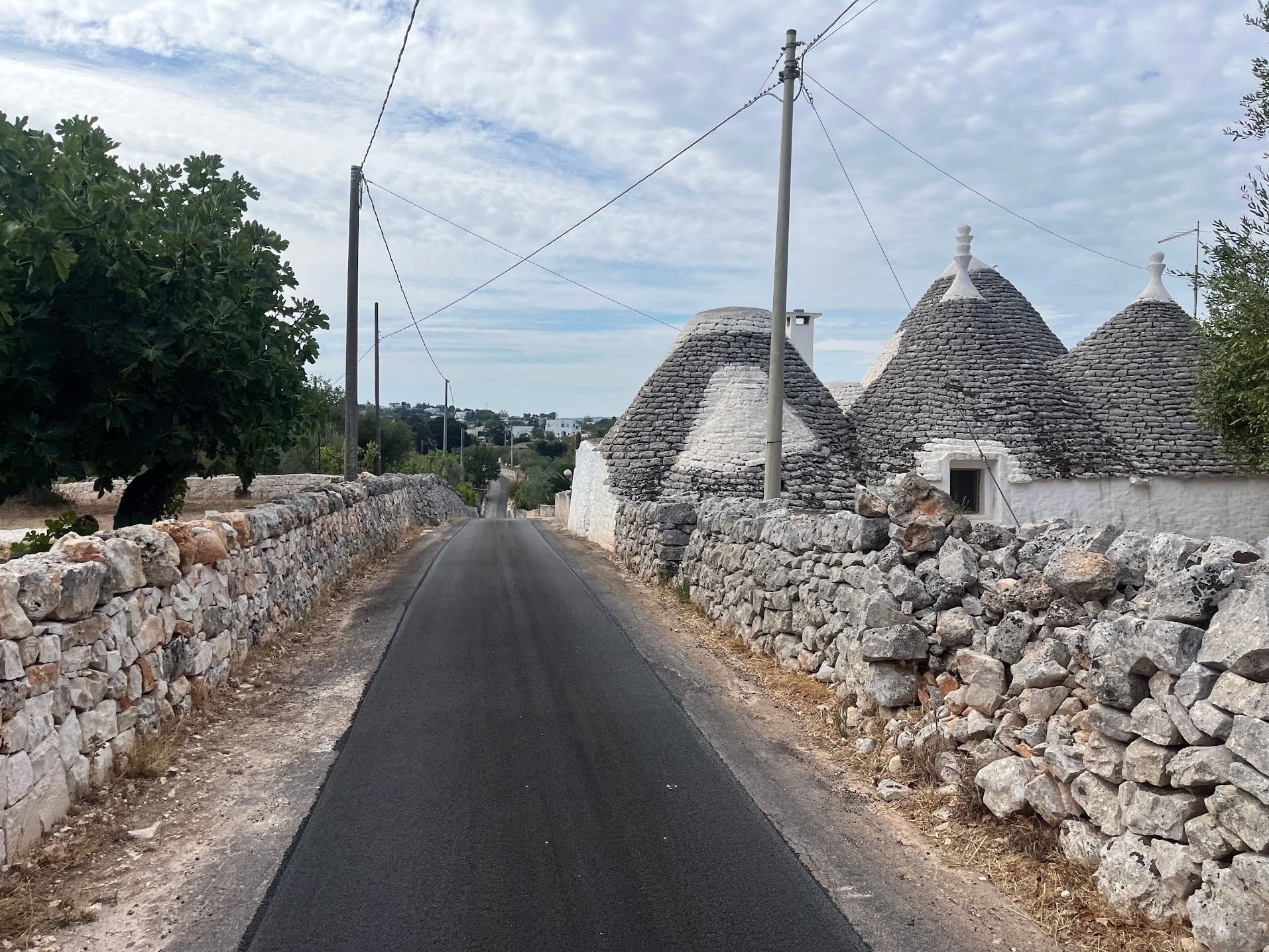
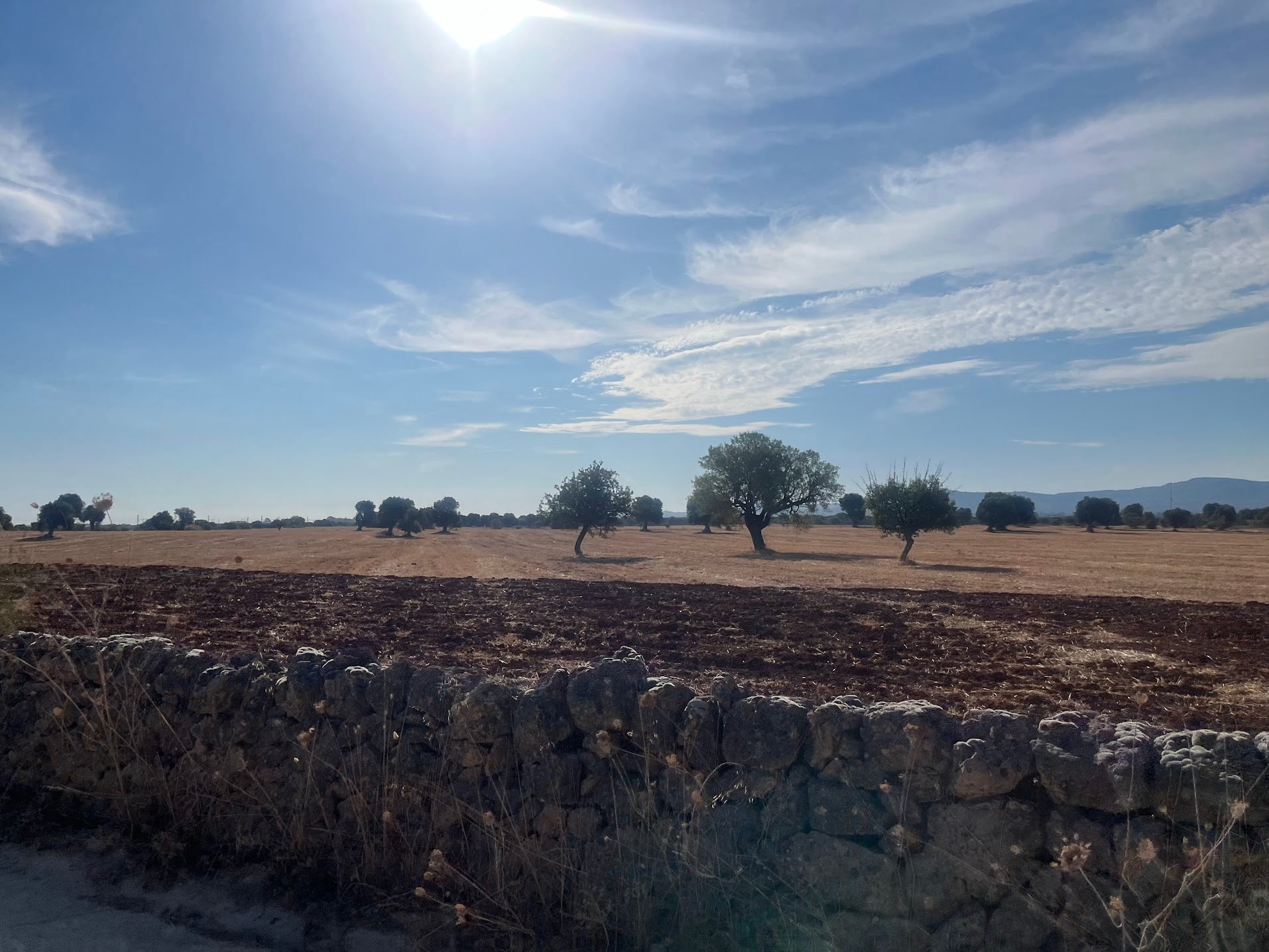
The first ten kilometres are a warm-up on the plateau: out past Cisternino on Via Ostuni, then a loop west and north through Caranna on the SP8 at around 350 metres. This is postcard Puglia, narrow strips of tarmac walled in by dry stone, with trulli roofs poking over the top.
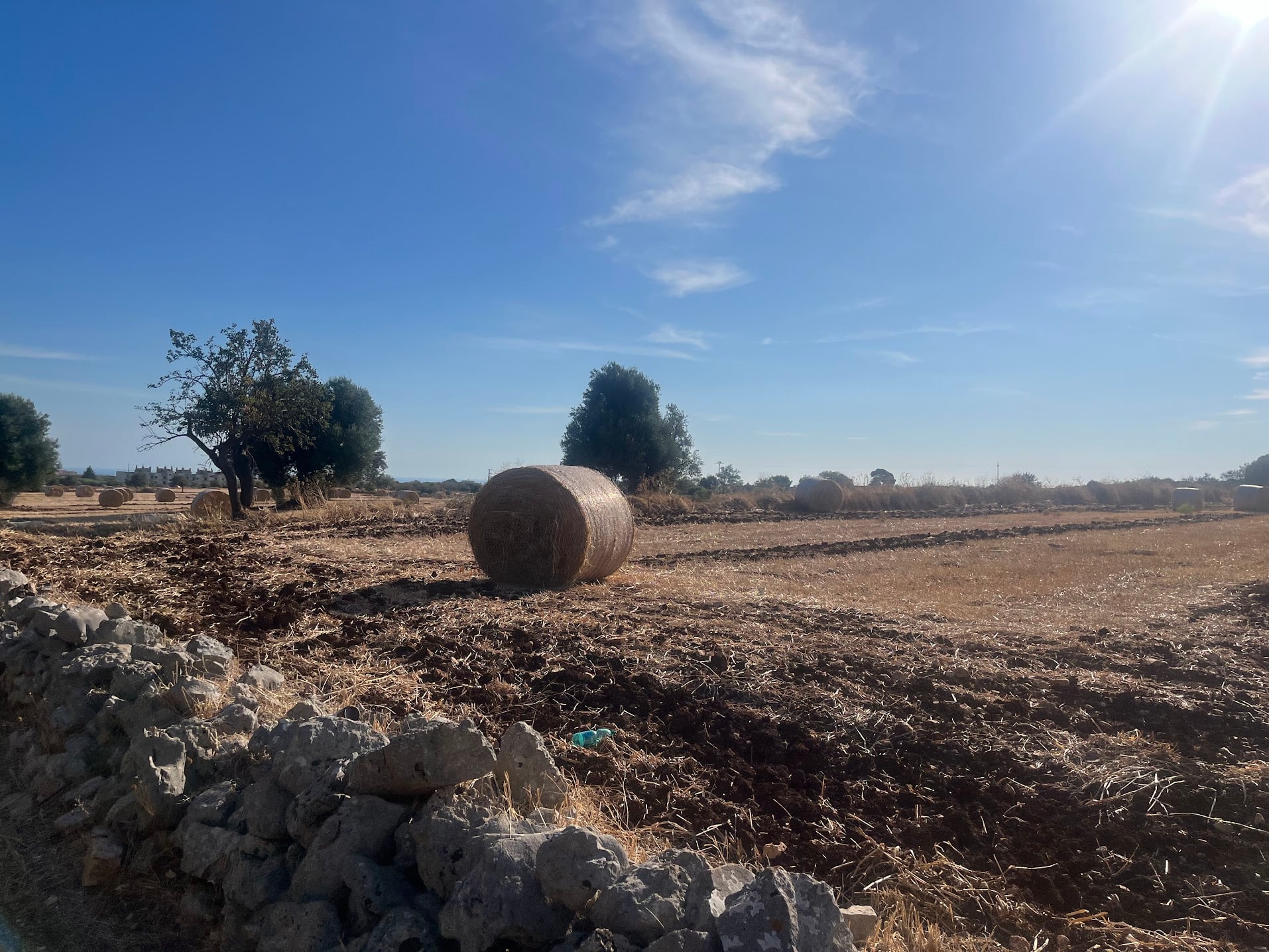
From Caranna the road tips over the edge of the Murgia and the long descent begins. Over the next twelve kilometres you lose 300 metres almost without pedalling, past Montalbano and Via Calatafimi, with the sea a flat blue line on the horizon and hay bales in the stubble fields either side.
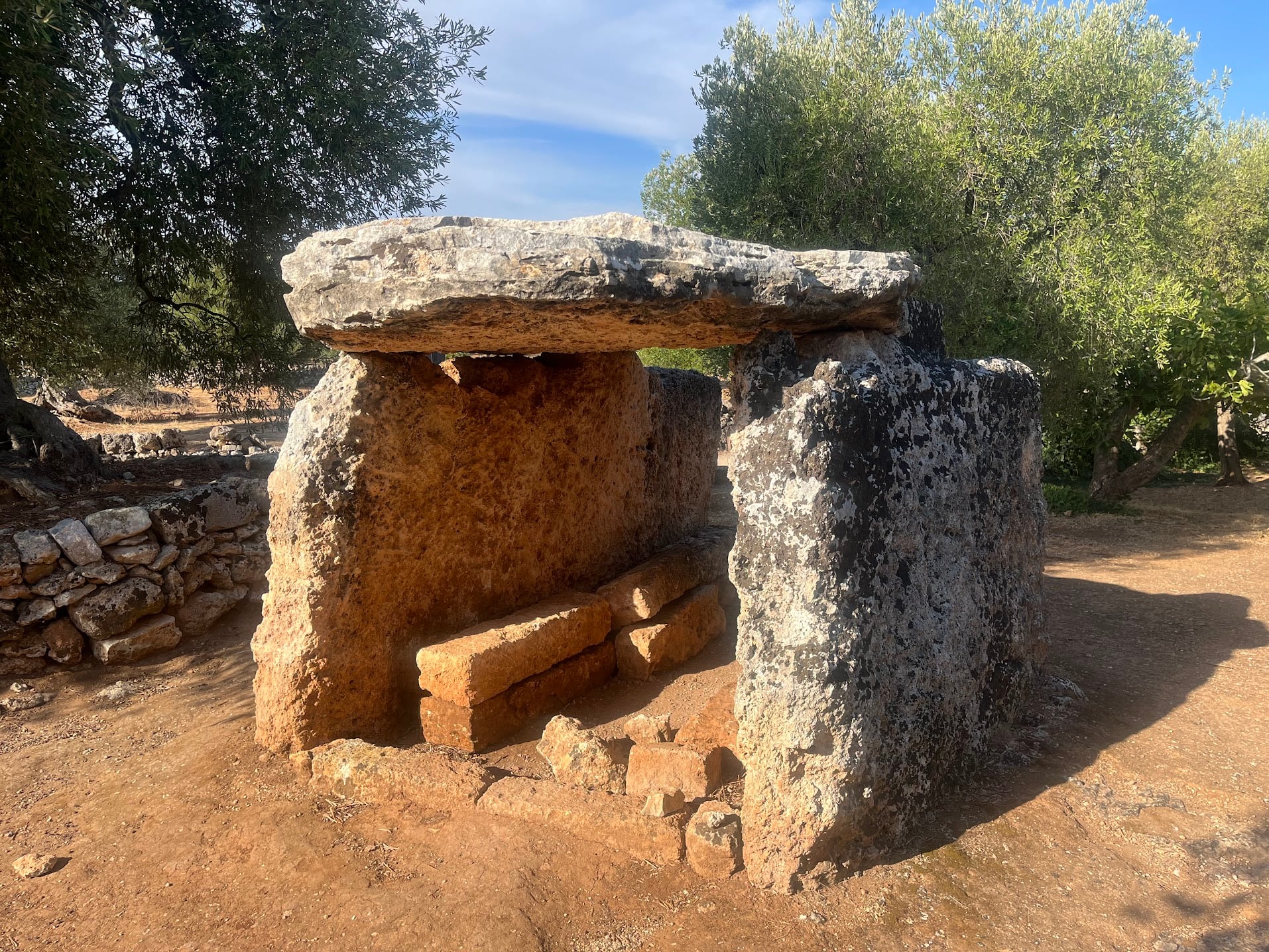
At around km 16, in an olive grove just off Via del Dolmen, sits the Dolmen di Montalbano: a megalithic burial chamber of three upright slabs and a capstone, well over three thousand years old, standing quietly between the trees with no fence and no ticket office. It is worth the two minutes it takes to stop.
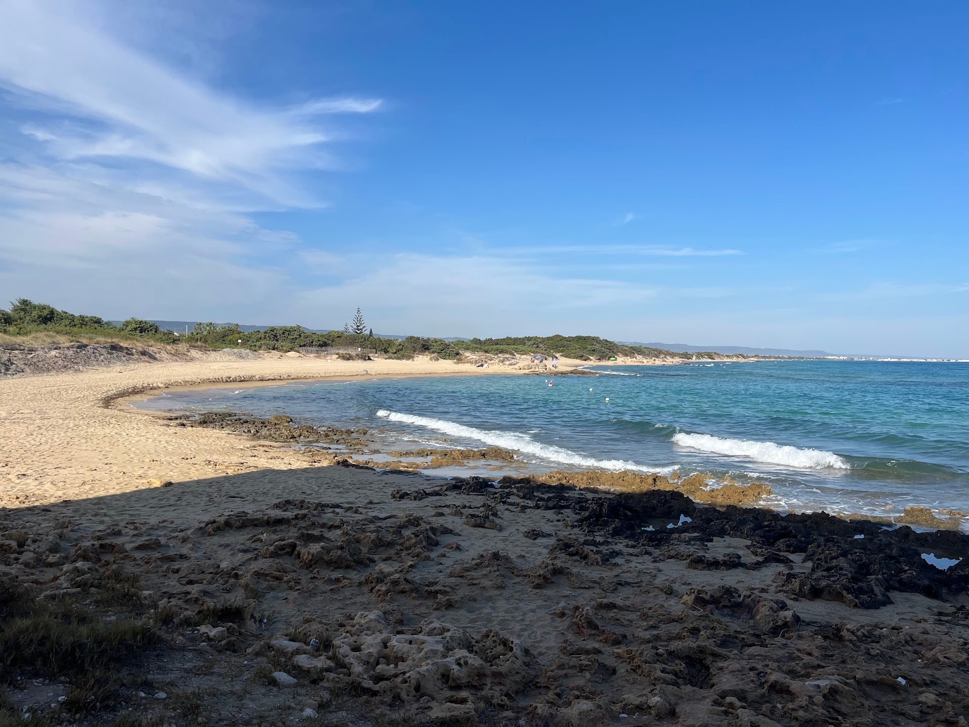
Below the dolmen the last of the height disappears and you roll out onto the coastal plain and into the Parco Naturale Regionale Dune Costiere da Torre Canne a Torre San Leonardo, a protected strip of dunes, wetland and old olive groves running along the shore. At km 21 you are at sea level on the beach at Pilone, with sand, clear water and the low green dunes behind it.
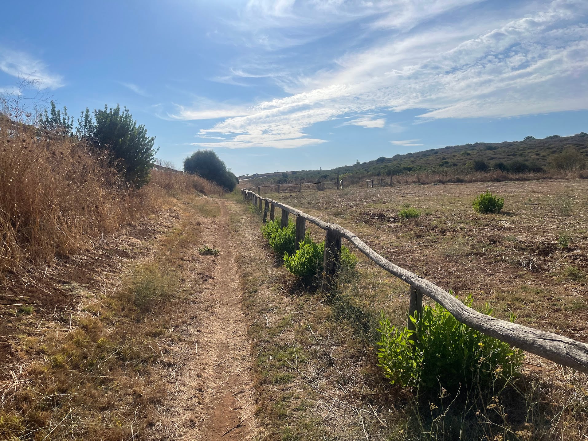
A couple of kilometres of sandy track and dune path follow the shoreline east before the route turns inland again on the SP19 towards Rosa Marina.
The way back
From the coast it is thirty kilometres home and all of it is uphill, though it takes a while to notice. The route works its way back west along the foot of the escarpment through Fontevecchia and Speziale, on the kind of arrow-straight farm roads where you sit at 25 km/h and feel strong.
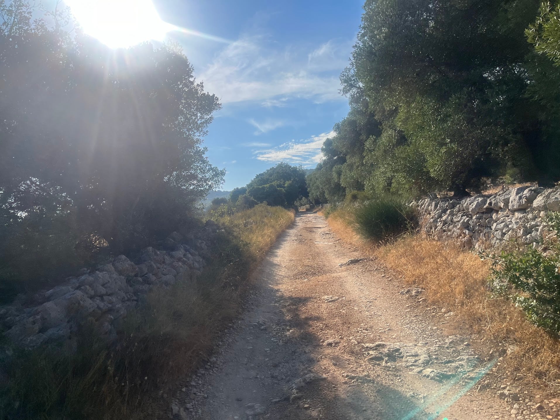
That ends at around km 39, where the road starts to tilt up through the olive terraces on loose gravel and broken concrete.
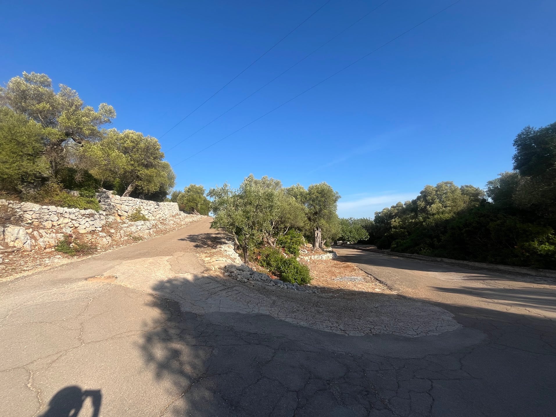
The real climb comes from km 43 to km 46: 2.4 km at an average of 7% back up to Caranna. This part is tarmac, which is just as well, because the hardest kilometre averages close to 11% and the steepest ramps touch 17%. There is almost no shade on it.
Once you are back on the plateau the last six kilometres are easy rolling gravel and tarmac through the olive groves to Cisternino and back to the start, and you finish the way you started, between drystone walls with trulli roofs on the other side.
Surface and bike choice
This is gravel territory and a road bike will not do it. The loop has a bit of everything: some genuinely good tarmac, a lot of bad tarmac, gravel roads, dirt tracks and the loose sand of the dune paths near Pilone. The long drag from km 39 is loose gravel and broken concrete; the steep climb above it, at least, is paved.
A gravel bike with 35 mm or more is the right tool and turns the awkward sections into the fun ones. Run tubeless, the limestone chips are sharp.
Traffic
The plateau lanes and the farm roads on the return are very quiet. The exceptions are the SP8 near Caranna and the SP19 towards Rosa Marina, both of which carry faster traffic, and the coastal strip in summer, which gets busy with beach traffic. Going early solves most of that.
Fueling
There is nothing at all on the first twenty kilometres, so leave with full bottles. Pilone and the coast road have bars and lidos in season, which is the obvious place to stop and the last chance to fill up before the climb. Speziale, at around km 37, has a bar. After that you are on your own until Cisternino.
Do the descent in the morning and you will be climbing back up in the heat of the day, with no shade on the last three kilometres. Carry more water than you think you need.
Getting there
Brindisi airport (BDS) is about 45 minutes by car, Bari (BRI) about an hour. Cisternino is on the SS172 between Locorotondo and Ostuni.
You Might Also Like


Ciclovia dell'Acqua loop
A very fun loop from Contrada Marangiulo via Cisternino onto the Ciclovia dell'Acqua: traffic-free gravel, ever so slightly downhill, past the Galante bridge and countless trulli to Ceglie Messapica, then back north on narrow broken lanes and gravel through the olive groves. Hilly all the way, no killer climbs.


Smeraldo Trail loop
A popular Komoot mountain bike loop from Cisternino down the Murgia escarpment towards Ostuni, past Santa Maria di Agnano and the Sant'Oronzo sanctuary. Red dirt roads through ancient olive groves and great views of the coast and the white city. More adventurous than advertised, with a good 10 to 15 km of pushing on overgrown and rocky trails.


Passo dello Stelvio
One of the most spectactular climbs in the world.