A 49 km gravel loop through the heart of the Valle d’Itria, built around the Ciclovia dell’Acqua: the cycleway laid on top of the service road of the aqueduct that has carried water across Puglia for a century. This was my first ride in Puglia and it set the tone for the whole trip: a very fun day out, with the aqueduct as the obvious highlight and a return leg that is far more entertaining than the profile suggests. With just under 500 m of climbing there are no killer climbs, but do not read that as flat. The Valle d’Itria is hilly all the way, constantly up and down, and the scenery changes around every corner.
Start point is Contrada Marangiulo, in the countryside a few kilometres east of Cisternino. The town itself, perched on the edge of the Murgia plateau at around 390 m, is the first stop and the high point of the ride.
The route
From Contrada Marangiulo the road climbs gently into Cisternino, one of the borghi più belli d’Italia and worth a lap of its whitewashed old town before the real riding starts. From there, quiet lanes head west through the trulli country between Cisternino and Locorotondo to contrada Figazzaro, where the route joins the aqueduct cycleway.
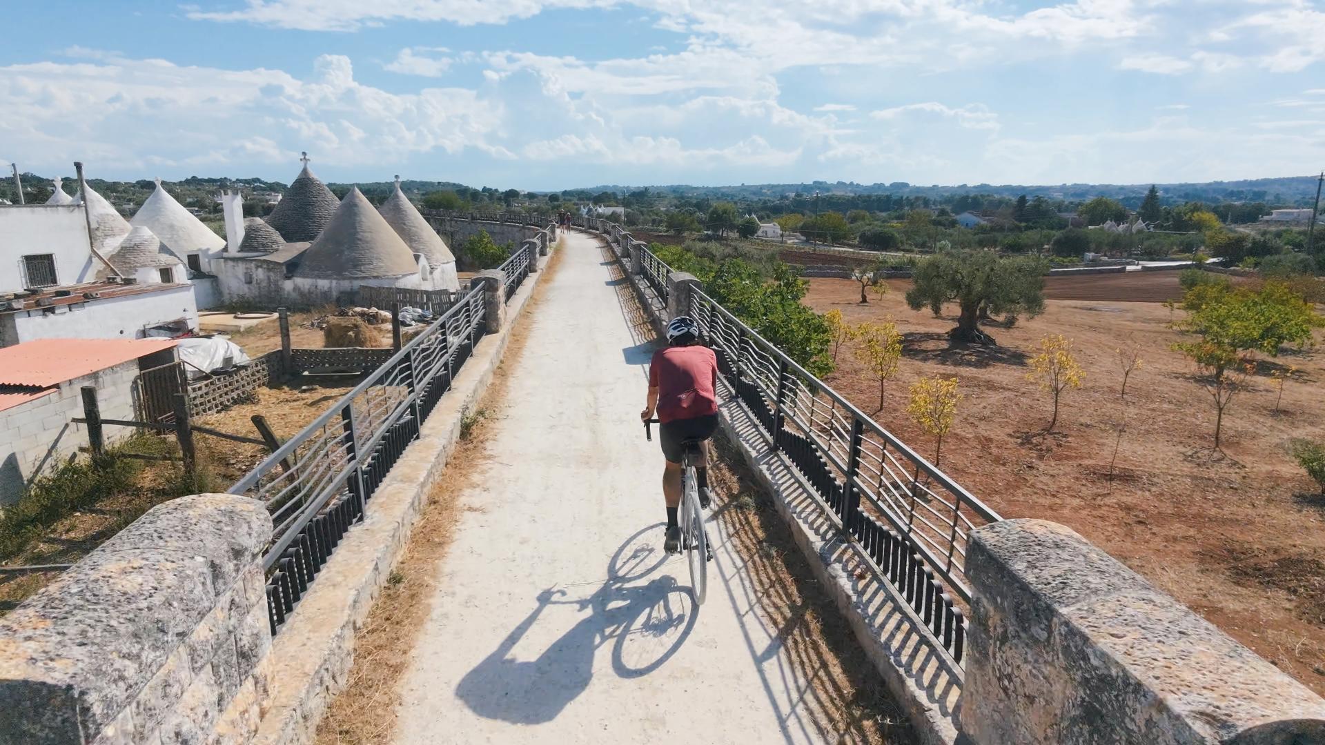
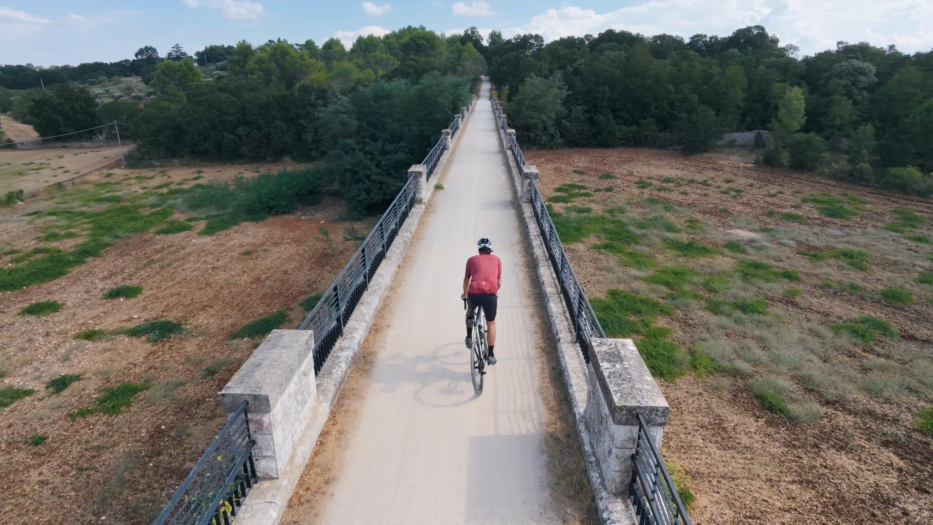
The next 20 km or so are the showpiece. The cycleway runs south-east along the canal’s service road on good, hard-packed gravel, and because the water flows away from Cisternino it is ever so slightly downhill the whole way. No traffic is allowed on it, and I met very few people out there: it was just me, the dry-stone walls, the olive groves and the cone-roofed trulli that are everywhere in this valley. Around the halfway point the route crosses the Ponte Galante, the stone aqueduct bridge south of Cisternino, and carries on through the countryside of Martina Franca and Ceglie Messapica, hovering around 330 m. It is very hard to get lost on.
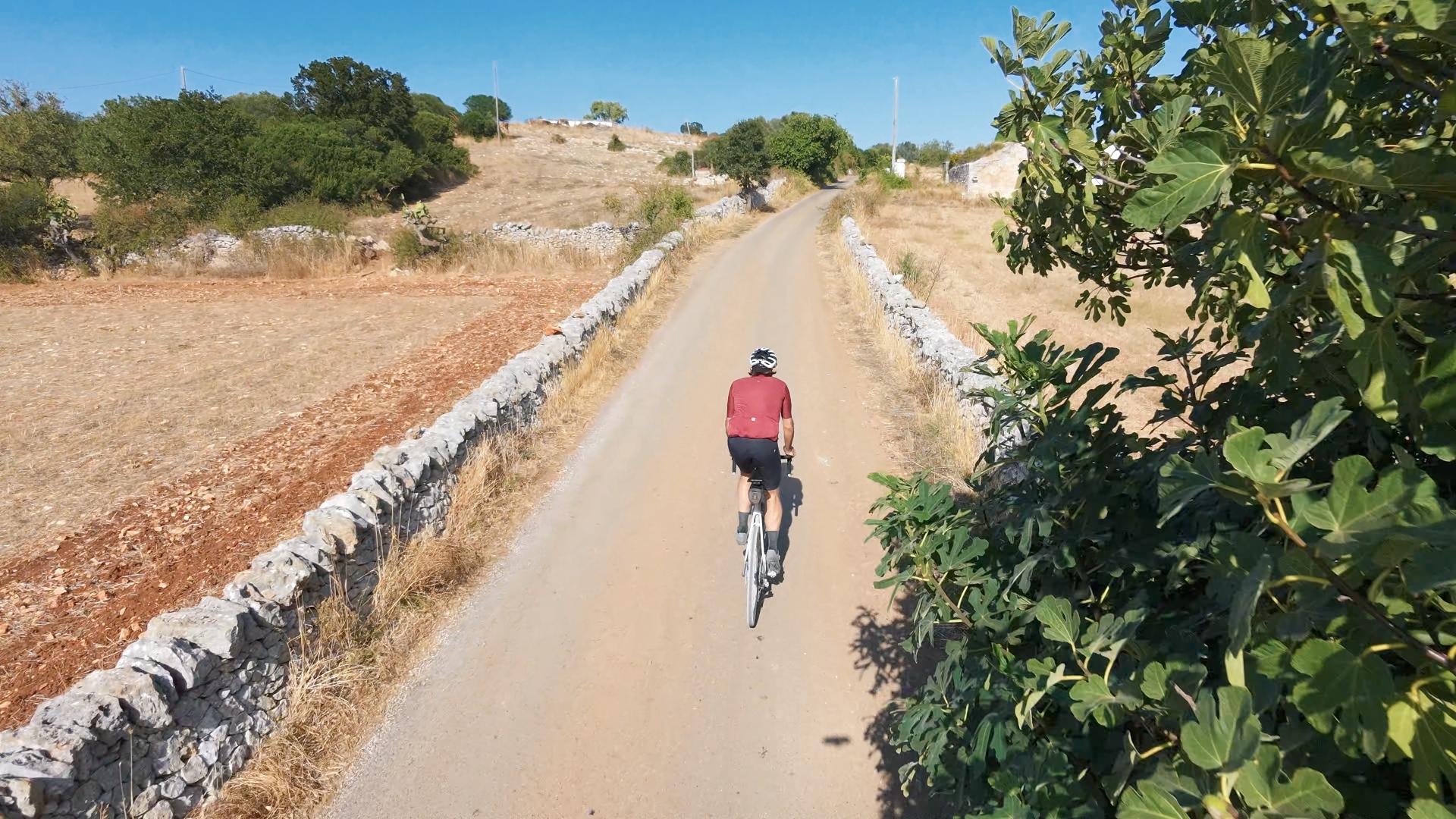
The route leaves the aqueduct on the far side of Ceglie Messapica, drops into town for a coffee, and then turns north for the return. This last third is the most varied part of the day: very narrow tarmac lanes in poor shape, broken up by fun gravel sections, descending to the lowest point of the ride at around 230 m in the olive plains east of Ceglie and then working back up through farm lanes and contrade to the Murgia edge and Contrada Marangiulo. Most of the day’s climbing is here, and the steepest kilometre of the ride is on this return leg, but nothing gets beyond a modest 7 to 8%.
Surface and bike choice
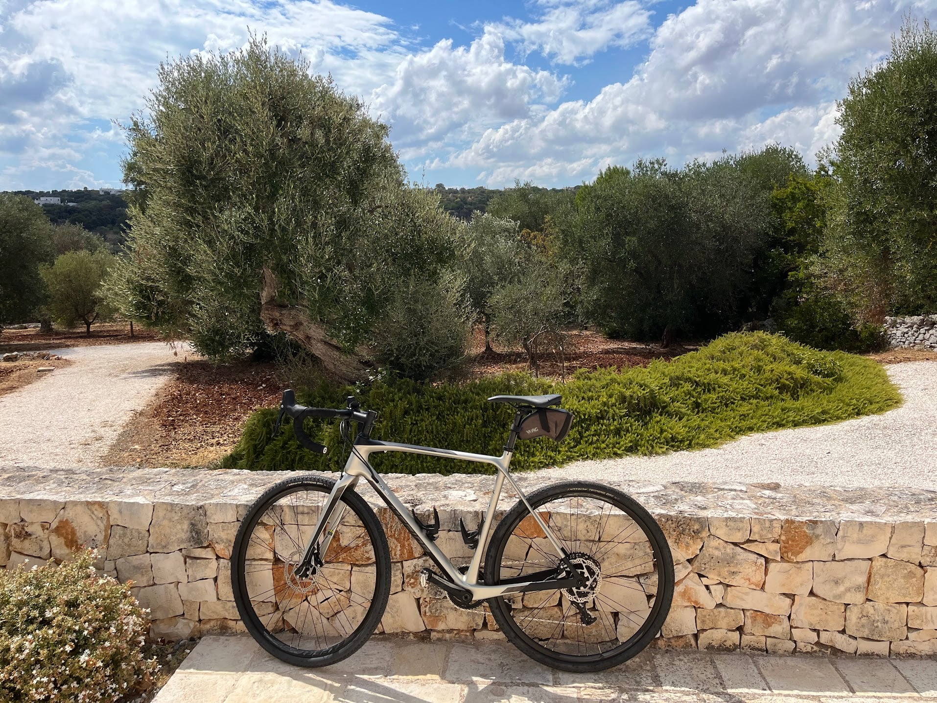
The cycleway is pressed gravel and rideable on anything from a gravel bike to a hybrid. The lanes on the way back are another matter: the tarmac is narrow and badly broken, and the white limestone tracks in between are dusty and sharp. A gravel bike is a must, and tubeless is a good idea.
Traffic
The narrow lanes are the best thing about riding here. They are so tight that cars physically cannot speed on them, so cyclists are safe and mostly alone. The main roads are a different story: drivers there definitely speed, and they may not give you much room when overtaking. The route keeps those stretches short, but keep your wits about you whenever you are on one.
Fueling
Cisternino and Ceglie Messapica both have plenty of bars and bakeries. In between, the cycleway has no bars or fountains, so carry enough water for the full aqueduct stretch. There are open stretches in full sun, but plenty of trees along the canal throw shade too. Cisternino is famous for its butcher-grills (the fornelli pronti): the post-ride meal takes care of itself.
Getting there
Brindisi airport (BDS) is about 45 minutes by car, Bari (BRI) about an hour. Cisternino is on the SS172 between Locorotondo and Ostuni.
You Might Also Like


Passo dello Stelvio
One of the most spectactular climbs in the world.


Passo di Gavia
That other monstrous climb in the Dolomites.


Serra de Monchique
Tackle the biggest climb in the Algarve – the Fóia climb in the Serra de Monchique. Ride the famous climb of the Tour of Algarve professional race.