
Route Details
Steepest kilometre
The hardest continuous kilometre of Gorafe desert gravel loop, measured from the GPX track.
- Gradient
- 12.2% Savage
- Where
- km 0.8 - 1.8
- Rise
- +122m
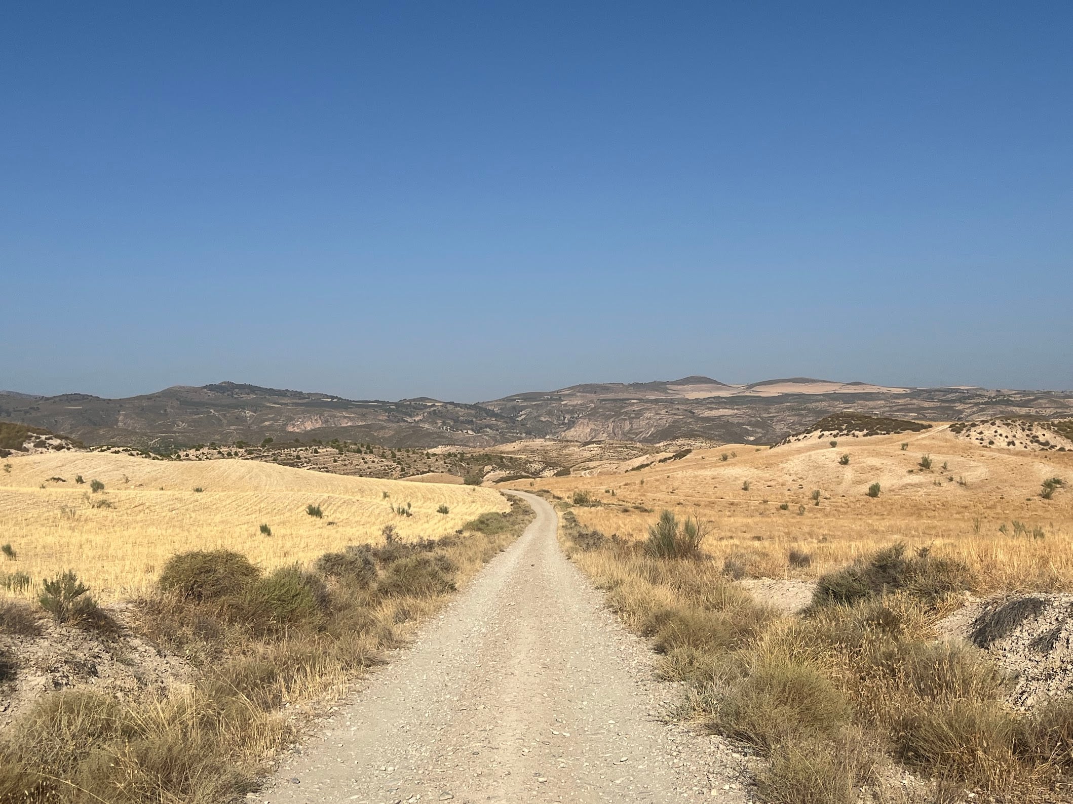
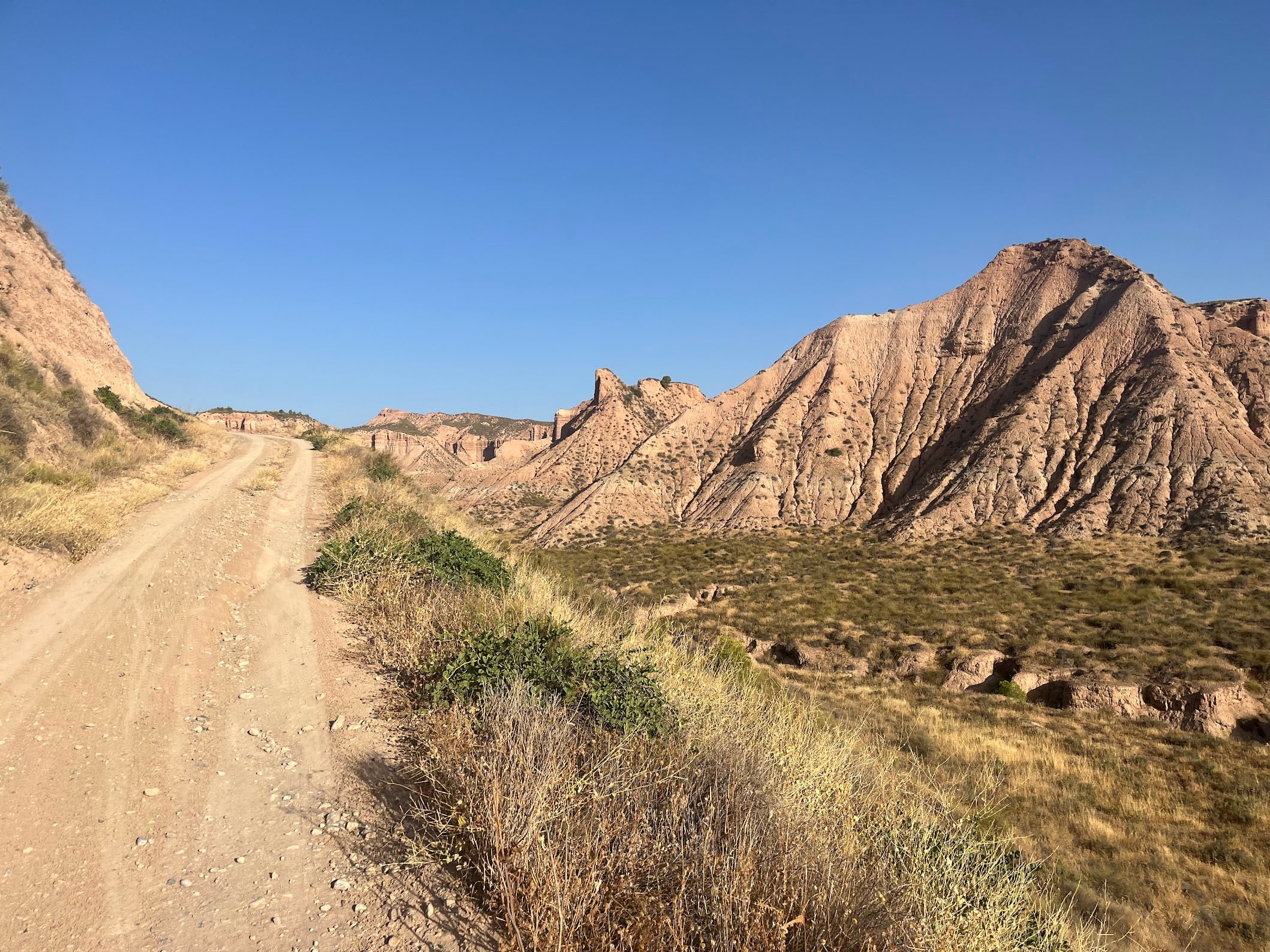
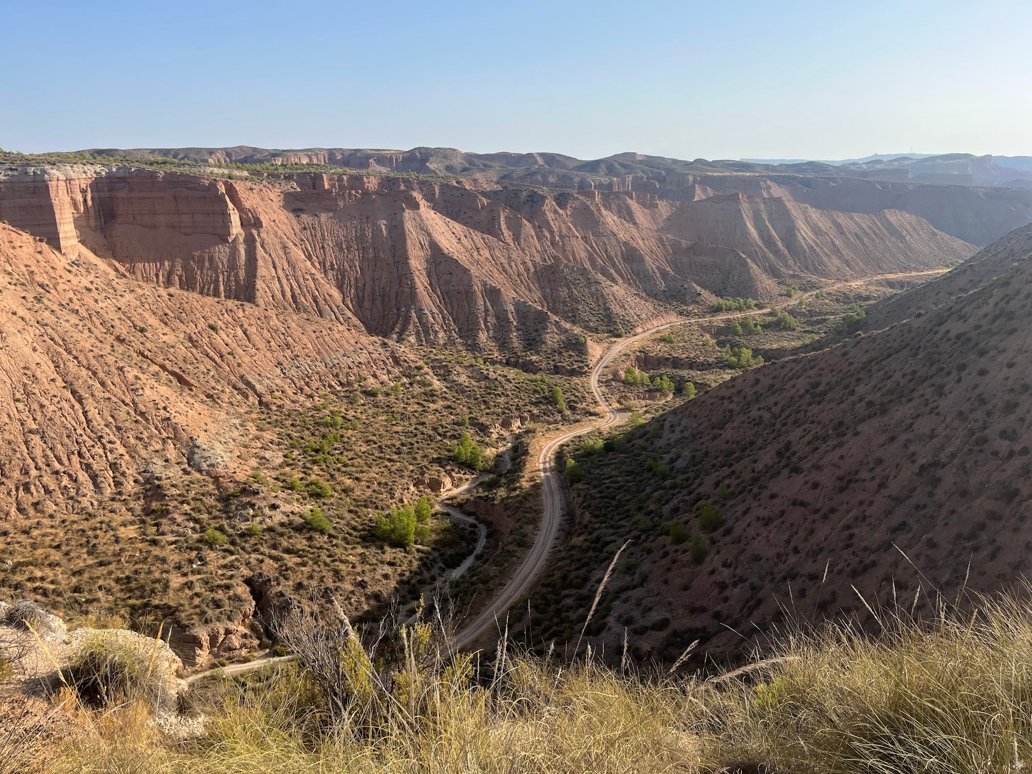
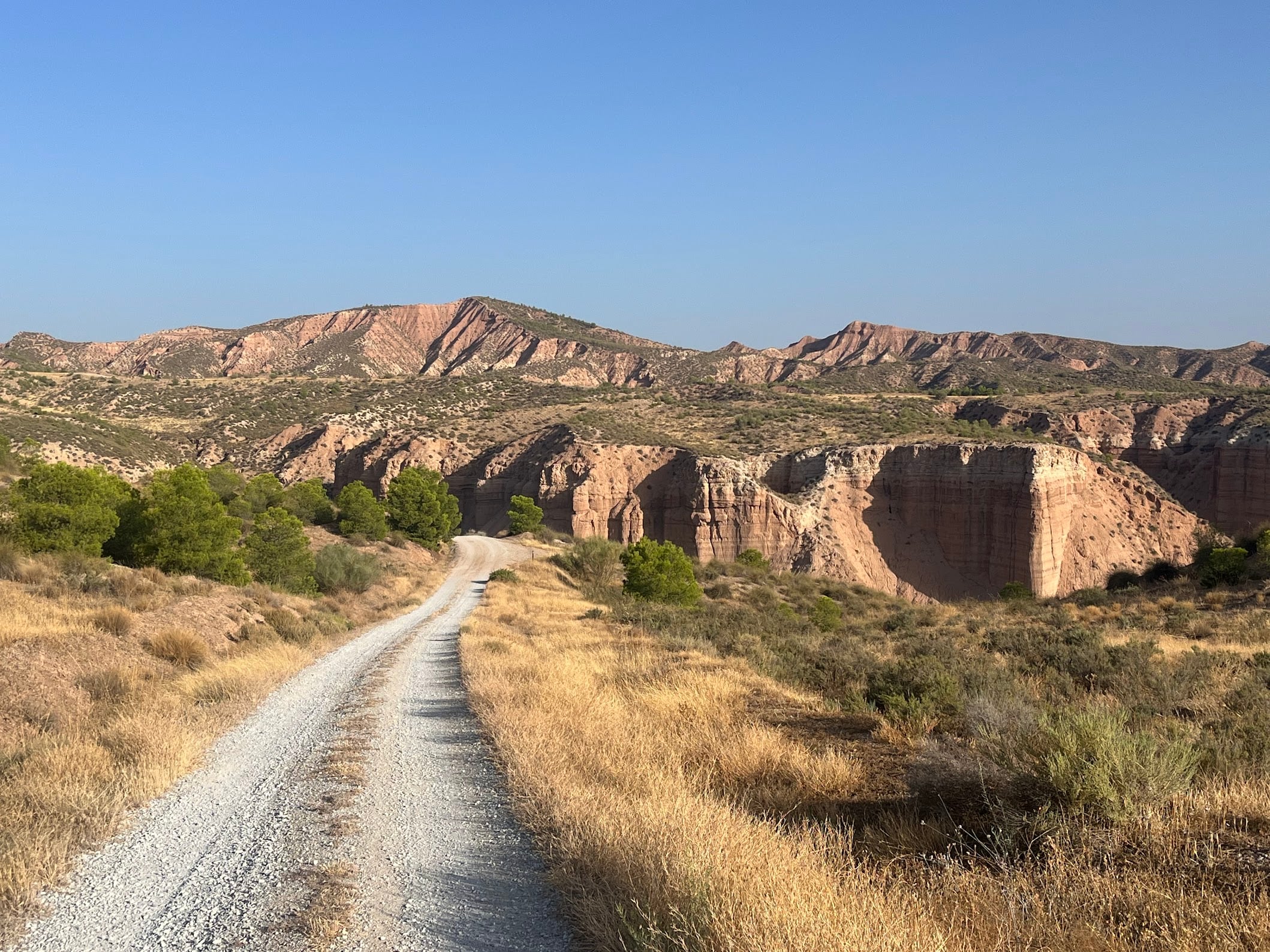
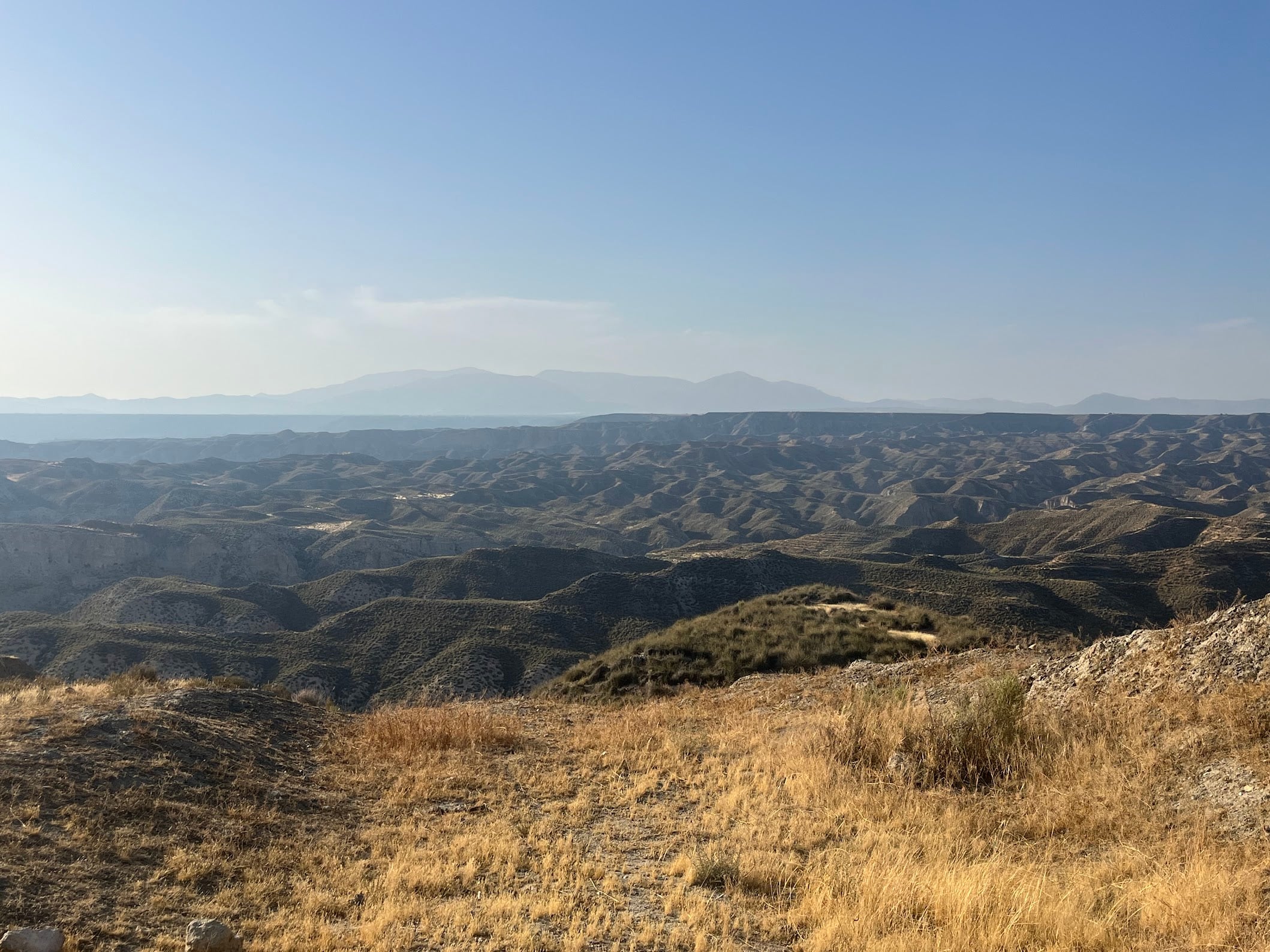
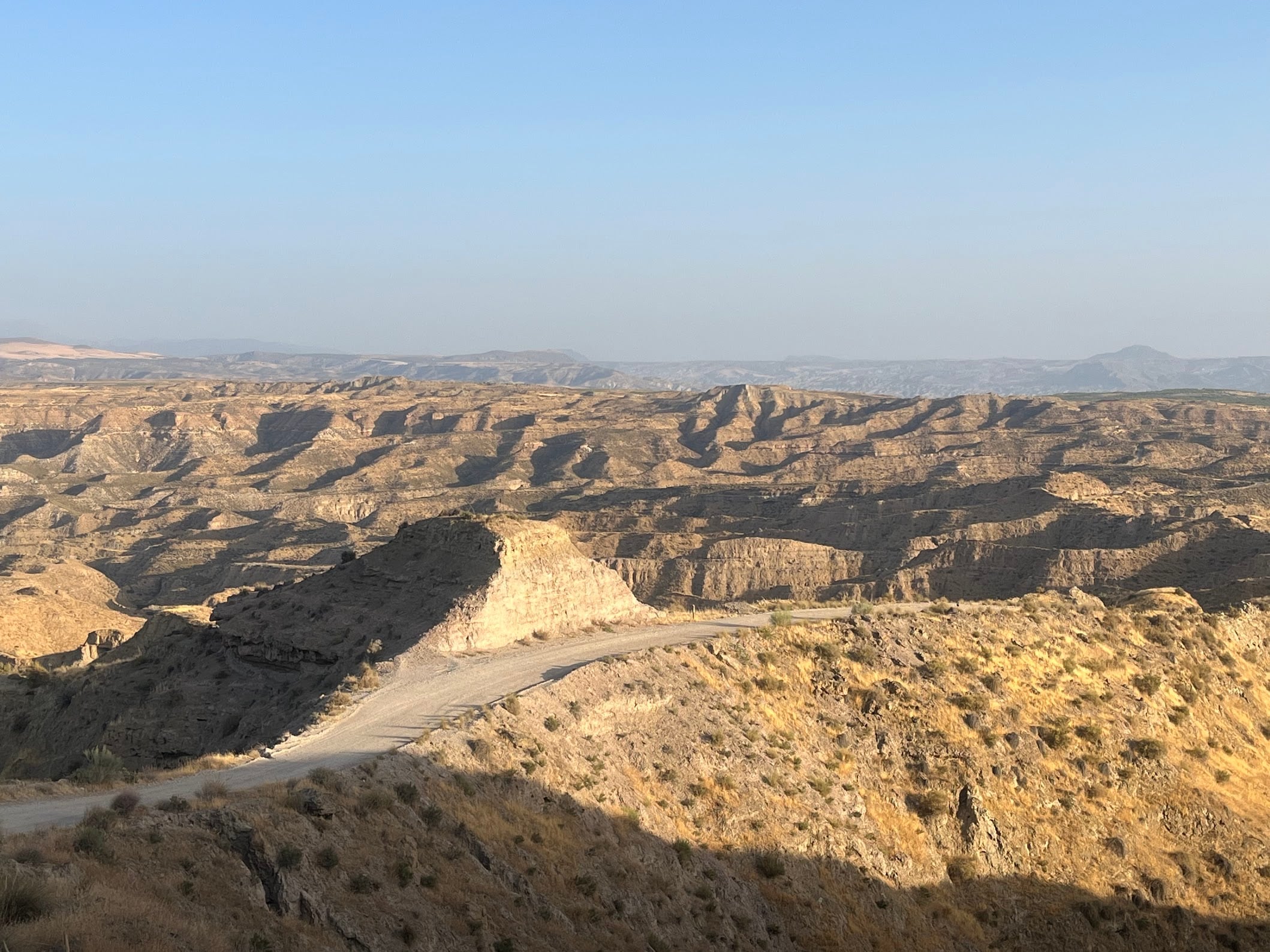
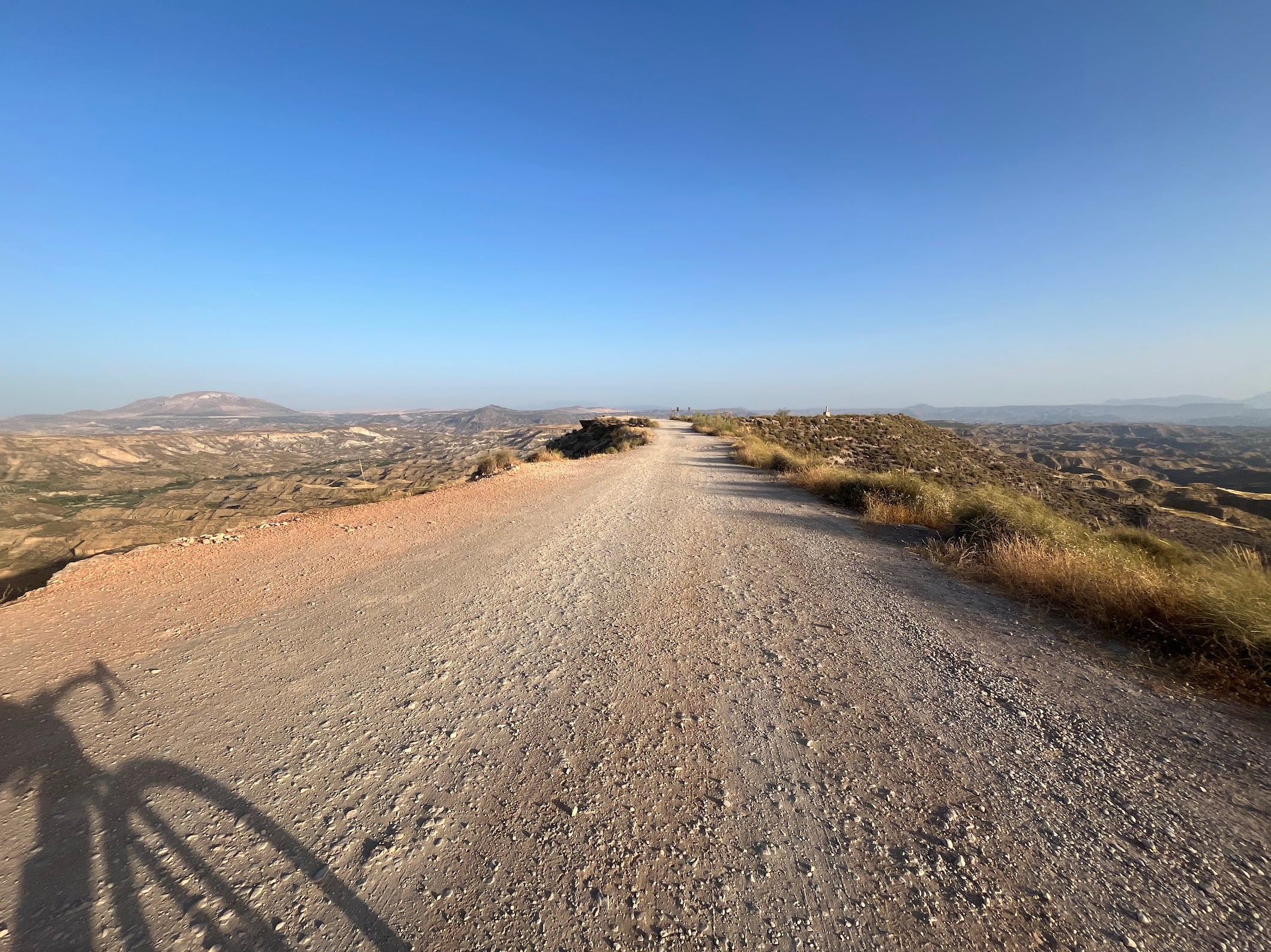
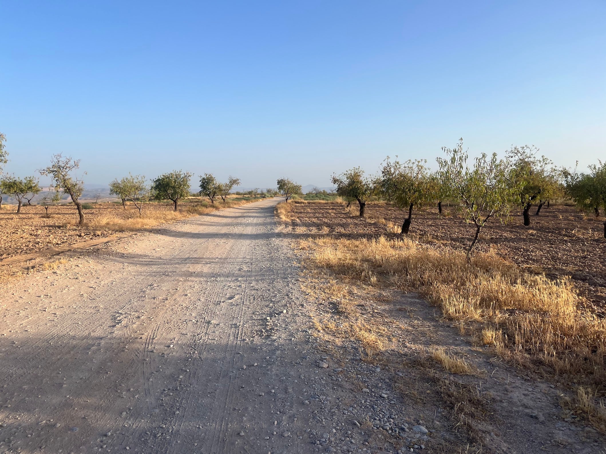
A 69 km loop from Gorafe through the most otherworldly landscape in the province of Granada: the Gorafe desert. Canyons with sheer ochre walls, prehistoric tombs scattered along the ridgelines, and a hot-spring oasis at the bottom of the valley. On paper it is a modest day: less than 70 km, about 1,300 m of climbing. In reality this was one of the hardest days I have ever had on a gravel bike. None of those 70 kilometres are gentle, and this route deserves respect - read the sections below before you go.
Five million years in the making
Gorafe sits in the middle of the Hoya de Guadix-Baza, which for about five million years was an enormous inland lake with no outlet to the sea. Rivers coming off the surrounding sierras filled it with layer after layer of sand, clay and silt. Around half a million years ago the basin was captured by the Guadalquivir drainage, the lake drained away westward, and erosion started chewing into the soft lake-bed sediments. The result is the maze of gullies, cliffs and painted badlands - Los Coloraos, “the red ones” - that this route rides straight through. It is one of the largest badlands landscapes in Europe and the heart of the UNESCO Granada Geopark. If it looks like a film set for a western, you are not far off: the classic spaghetti westerns were shot in the same kind of landscape an hour south of here, in the Tabernas desert.
Dolmens and cave houses
People figured out this landscape long before cyclists did. The valley of the río Gor above Gorafe holds the densest concentration of megalithic tombs in Europe: more than 240 dolmens spread across ten necropolises, built between roughly 3000 and 2000 BC and still standing on the ridges and terraces above the road. The route passes the Gorafe megalithic park, and several dolmens are a short walk from the track - take the detour, they are 5,000 years old and you will likely have them to yourself. If you want the full story, the village has a megalithism interpretation centre, and signed walking trails connect the necropolises closest to Gorafe.
Gorafe village itself is half underground. Like Guadix and Baza, it is a village of cave houses dug straight into the soft sediment - a constant 18-20 degrees inside regardless of what the desert is doing outside. Many are still inhabited, some are holiday lets, and sleeping in one before an early desert start is an experience in itself. I stayed at Cueva Solano, a cave house with views over the village, run by unbelievably friendly people - the owner once drove 50 km to rescue me after a mechanical on the vía verde. In a region with no taxis and barely any public transport, hosts like that are worth their weight in gold.
The route
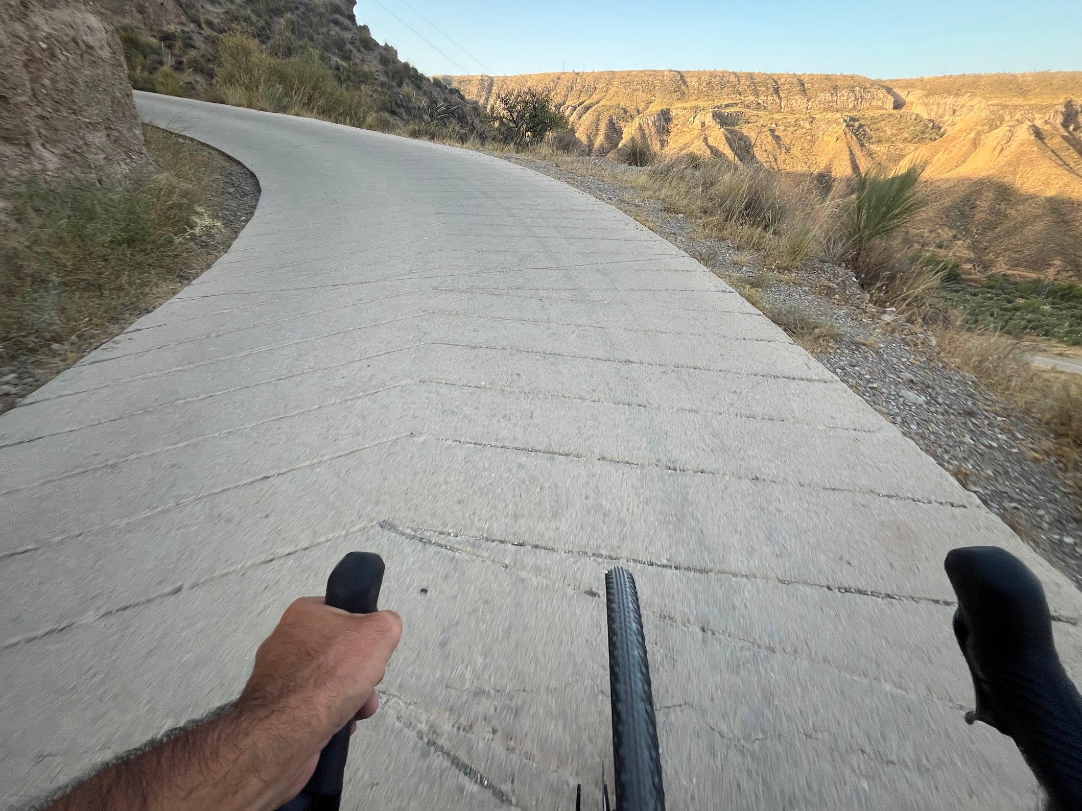
The day starts with a slap in the face: to get from Gorafe up into the badlands there is a 1-2 km concrete ramp out of the valley. You can tell how steep it is before you feel it - the concrete is scored with herringbone grooves, the kind road builders only carve when tarmac would send cars sliding backwards. Consider a short warm-up first on the tarmac road heading northwest out of the village, because cold legs and this wall are a bad combination.
Once over the top, the track heads north across the plateau, before dropping through the badlands toward the Fardes valley. This is the postcard section: pale tracks ribboning between canyon walls and eroded towers, with long views across the desert to the Sierra Nevada on the horizon.
The middle of the loop works its way along the valley at around 550-650 m, through the villages of Dehesas de Guadix and Villanueva de las Torres, and past the Baños de Alicún de las Torres, a thermal spring that has been in use since prehistory - the warm water crossing under the road is the giveaway. But do not read “valley” as “flat”: the whole loop is a constant series of short, vicious climbs and descents, and when it goes up, it goes up properly. Ramps north of 20% are not uncommon, on loose rock, in full sun. The final act is the worst of it: from the lowest point of the ride the track climbs some 350 m back up to the plateau and over to Gorafe, most of it in the last 15 km. There is no easy way home.
Surface and bike choice
Do not let the word “gravel” fool you. Although this is the terrain of races like Badlands and Utopía, there is actually very little gravel out here - it is mostly rock, loose stone and boulders, with the occasional stretch of butter-smooth tarmac between the villages (where your problem becomes fast-moving traffic instead). Around km 50 the route zigzags through a dried-up riverbed with extremely loose, deep sand. I crashed there: from 20 km/h to zero in a fraction of a second, no chance to react. The bike survived; it could easily have gone the other way.
I rode it on a gravel bike and would honestly recommend a mountain bike (or e-MTB) instead. If you do take a gravel bike, fit the widest, toughest tyres you can and keep your speed honest in the sandy and rocky sections.
Remoteness
Take the self-sufficiency seriously. A mechanical out here means real trouble: you are far from everything, phone reception is patchy (though, oddly, you get 5G in plenty of spots), and even if you do get a call out, much of the route is simply unreachable for normal vehicles. Carry proper spares - plugs, tube, links, tools - and ideally do not ride it alone. This is an epic day out, but it is one for experienced, very fit riders who do not mind a bit of adventure with a genuine possibility of calamity.
Fueling
Gorafe has a couple of bars, and the two villages on route - Villanueva de las Torres and Dehesas de Guadix - both have a bar too. The only fountain I spotted along the way is in Dehesas de Guadix, so do not build your hydration plan around refills. Gotta love Spain: a village may not have a supermarket or a pharmacy, but it will have a bar that is open all day. Do not count on the little hamlet of Cortijo Nuevo, though - as far as I could tell there are no provisions there at all. Between the villages there is nothing either - no shade, no shops, no water. Carry at least two big bottles, and in the warmer months double that or plan your stops around those bars.
When to ride
Spring and autumn are perfect. In summer this is a genuine desert: I rode it in mid-August and the heat was a serious factor even with a sunrise start. Start early and be done by noon, because by afternoon the badlands radiate heat from every side. Winter is doable and often sunny, but the plateau at 1,000 m gets icy mornings and a cold wind.
Getting there
Gorafe is about an hour from Granada by car, just off the A-92N via Guadix. Guadix, 30 minutes away, is the nearest town of any size and also worth a visit for its cave quarter and cathedral.
Gorafe also makes a great base for more than one day of riding: the vía verde from Baúl to Serón starts about 45 minutes away and is the perfect recovery-day counterpart to this loop - all railway gradients instead of 20% ramps.
You Might Also Like


Haza del Lino
Not yet discovered by the masses, this is a gem of a ride.


Ruta de la Cabra
The Goat's Path is an absolute beauty and must-do when you're in the area.


Sierra de Tejeda
One of the favorite loops of the pros when preparing for the Tour de France.
Read more
Articles covering this route, region, or country.

Top 5 cycling routes in Granada
Explore the best cycling routes in Granada. Snow-capped mountain climbs, empty valleys, butter-smooth roads, and historic cities are perfect for your next cycling holiday in Spain.

10 epic road rides in Andalucía
Discover 10 epic road cycling routes in Andalucía, Spain. Perfect for scenic rides, challenging climbs, and unforgettable cycling adventures.

Top 5 cycling routes in Málaga
Explore the best cycling routes in Málaga. Sunny coastal rides, mountain climbs, and scenic roads perfect for your next cycling holiday in Spain.