
Route Details
Steepest kilometre
The hardest continuous kilometre of Vía Verde del Almanzora - Baúl to Serón, measured from the GPX track.
- Gradient
- 3.4% Steady
- Where
- km 21.9 - 22.9
- Rise
- +34m
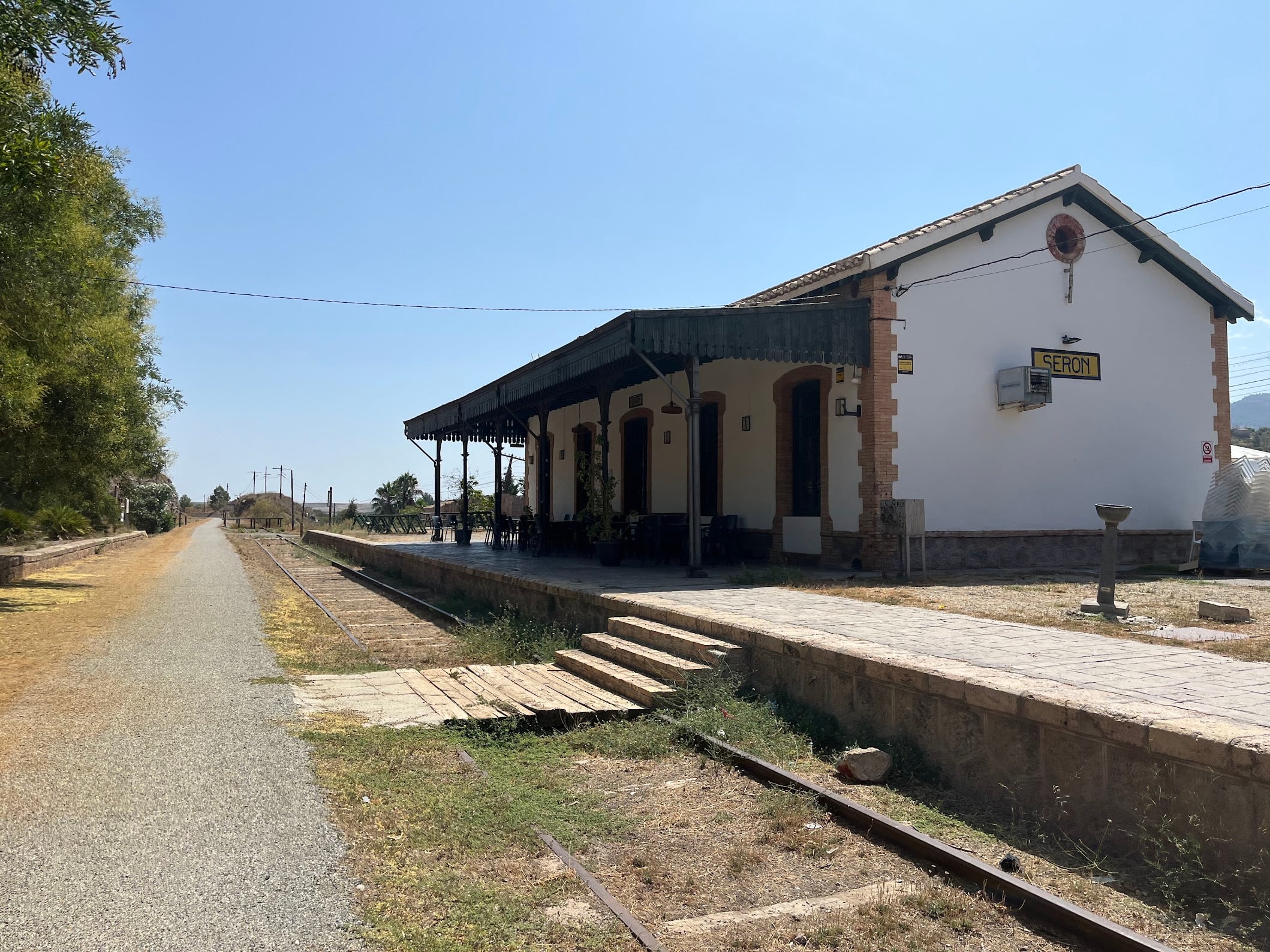
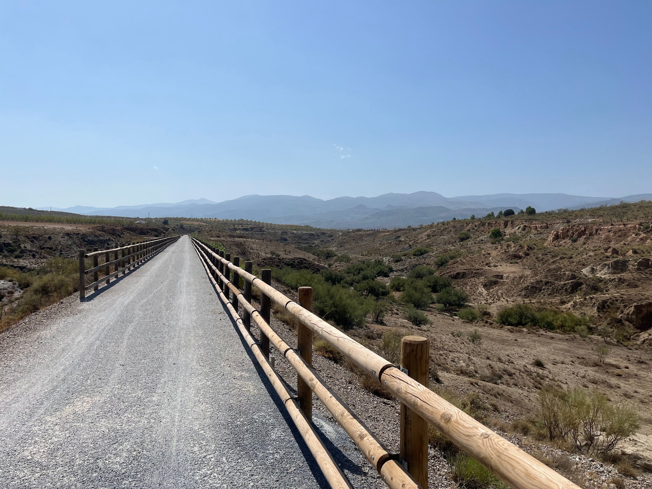
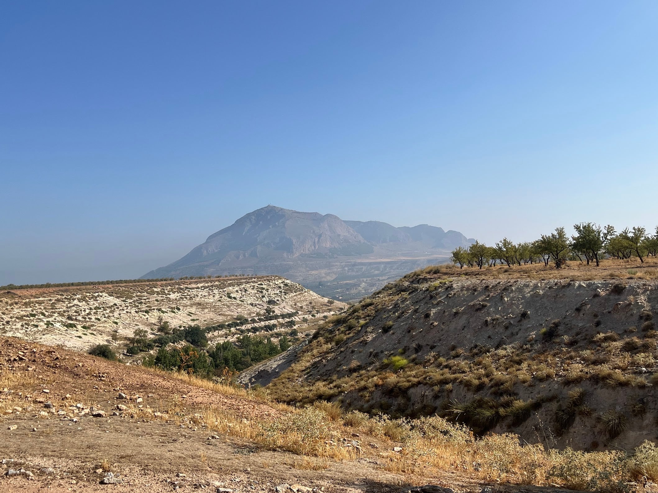
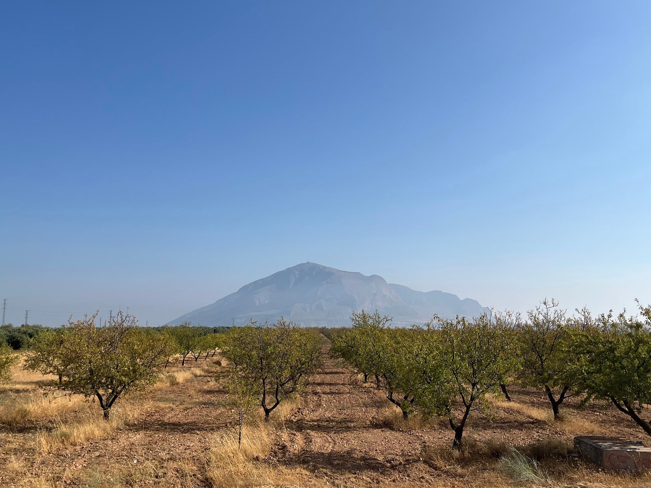
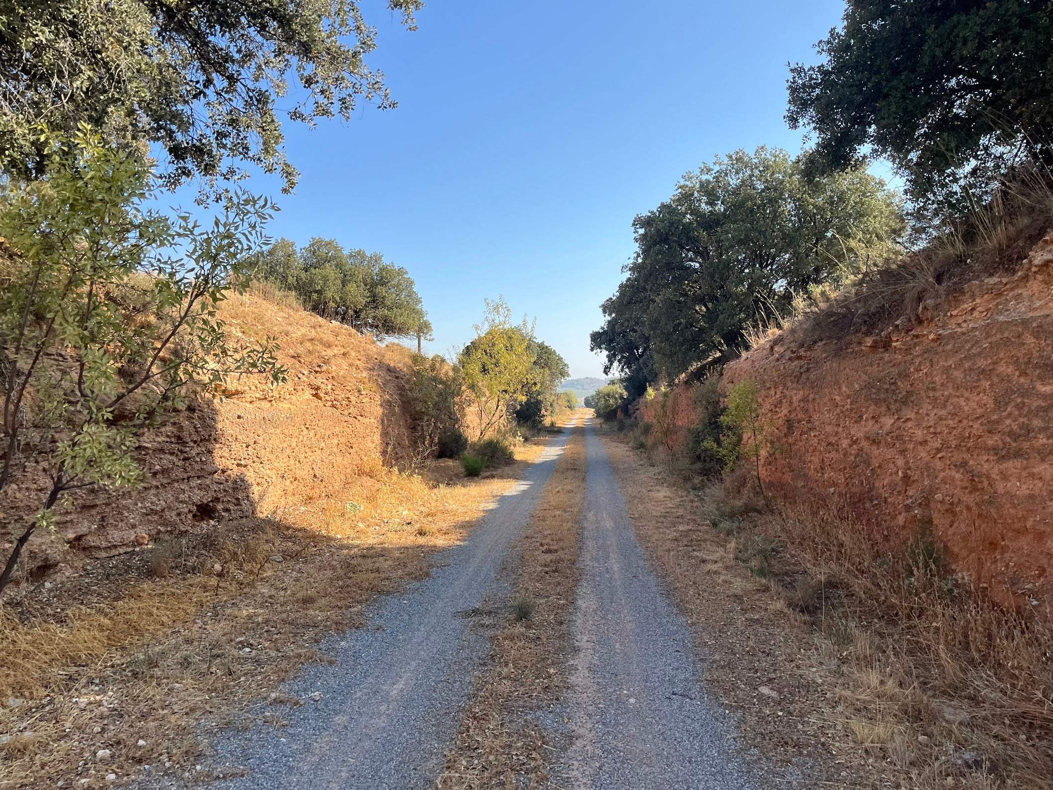
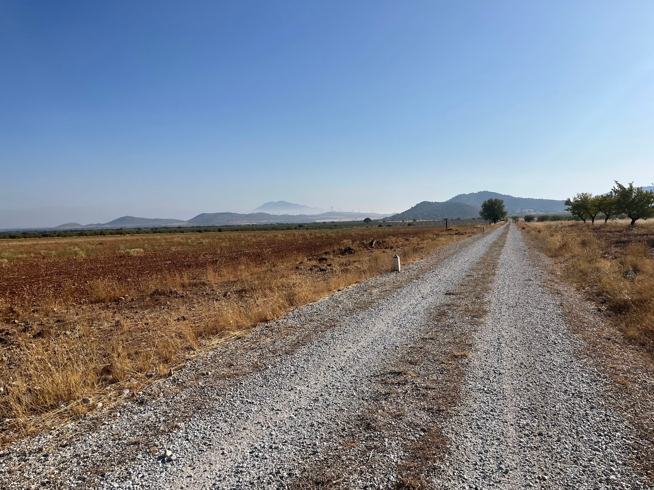
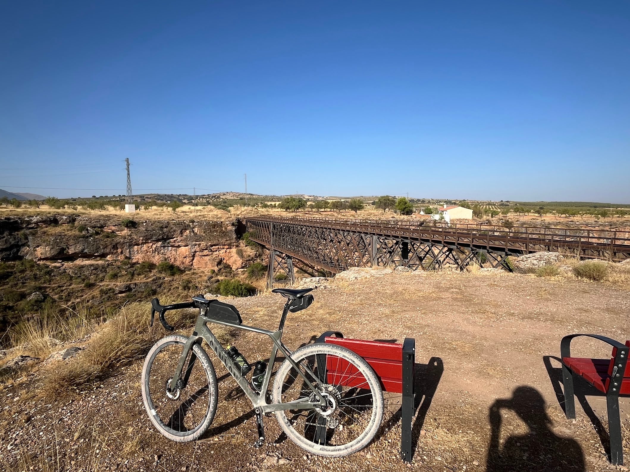
A ride along the trackbed of the old Guadix - Almendricos railway, almost all of it gently downhill in this direction. I started in the hamlet of Baúl at 1,265 m and rolled down through Baza and Caniles to the beautifully restored railway station of Serón at 767 m: 61 km with just 250 m of climbing. This is as easy as riding in the Granada highlands gets, and it is a lovely way to see a lot of landscape without earning it the hard way. And despite everything this day threw at me - a puncture, the August heat, the slightly eerie feeling of riding past ruins for hours without seeing a soul - I genuinely enjoyed this route. I had braced myself for monotonous desert views; what I got was surprisingly diverse.
The plan was to ride back the same way for a 120 km day; the puncture in Serón ended that (more on that below). And that is the beauty of this trail: the vía verde is so long that you can make the ride as short or as long as you want. It is also not one trail but a chain of converted railway sections, so you can start wherever suits you - Baza, the largest town on the route, is the obvious alternative to Baúl and cuts out the first 20 km. One tip with hindsight: for an out-and-back, consider starting from the eastern end instead and riding up the valley first. You climb while the legs are fresh and the morning is cool, and the way home is mostly downhill. Do not be confused by the signage along the way, because there is no single name for this trail - every stretch seems to have its own. On the Granada side you will see it signed as the Vía Verde de la Sierra de Baza, across the provincial border it becomes the Vía Verde del Almanzora, the stretch through Serón is known as the Vía Verde del Hierro (the “iron greenway”, after the three abandoned ore loaders it passes), and some maps label the whole thing the Camino Natural del Ferrocarril Guadix-Almendricos. Different names, same old railway.
A railway built for iron
The line this trail follows was built with British capital as The Great Southern of Spain Railway, which connected Lorca and Águilas with Baza in 1894; the link to Guadix followed shortly after. Its purpose was iron: the northern slopes of the Sierra de los Filabres were riddled with mines, and ore from Las Menas and Bacares came down to the valley on aerial cableways to be loaded onto trains near Serón, bound for the El Hornillo pier in Águilas and ships to the blast furnaces of Europe.
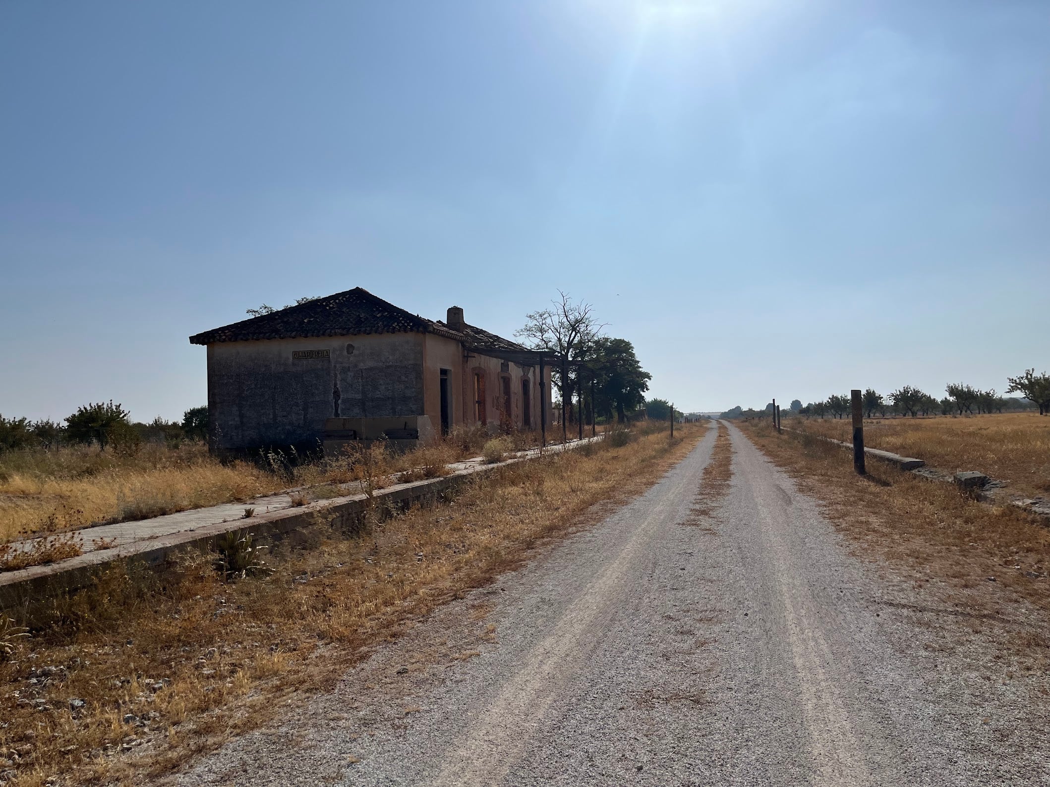
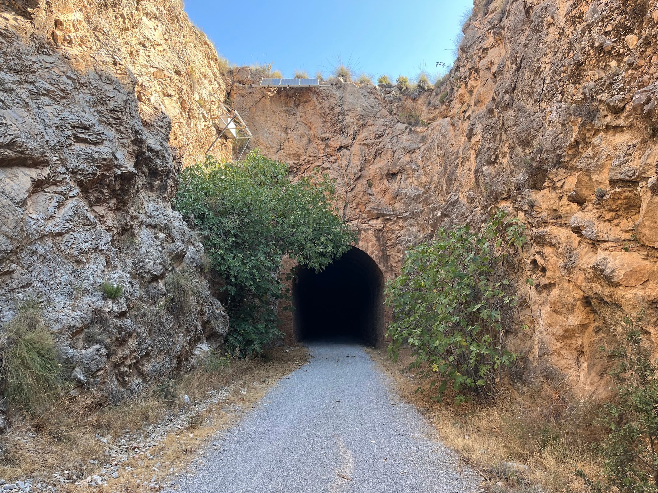
The mines closed in the late 1960s and the trains stopped for good on 1 January 1985, when the line was axed along with hundreds of kilometres of other unprofitable Spanish railways. What is left is a masterpiece of railway engineering you now get to ride: constant, gentle gradients, rock cuttings, tunnels and old station buildings strung along the valley.
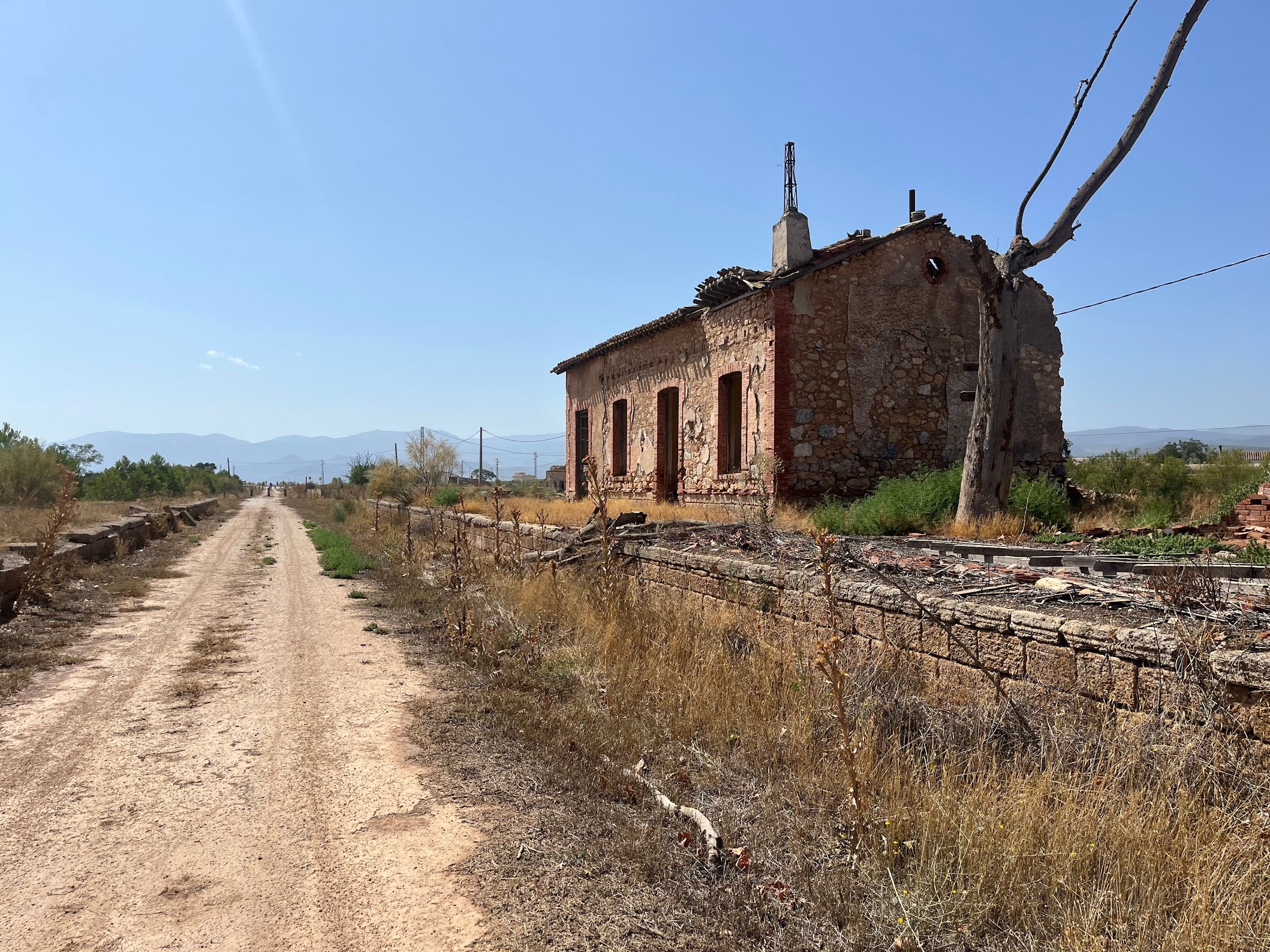
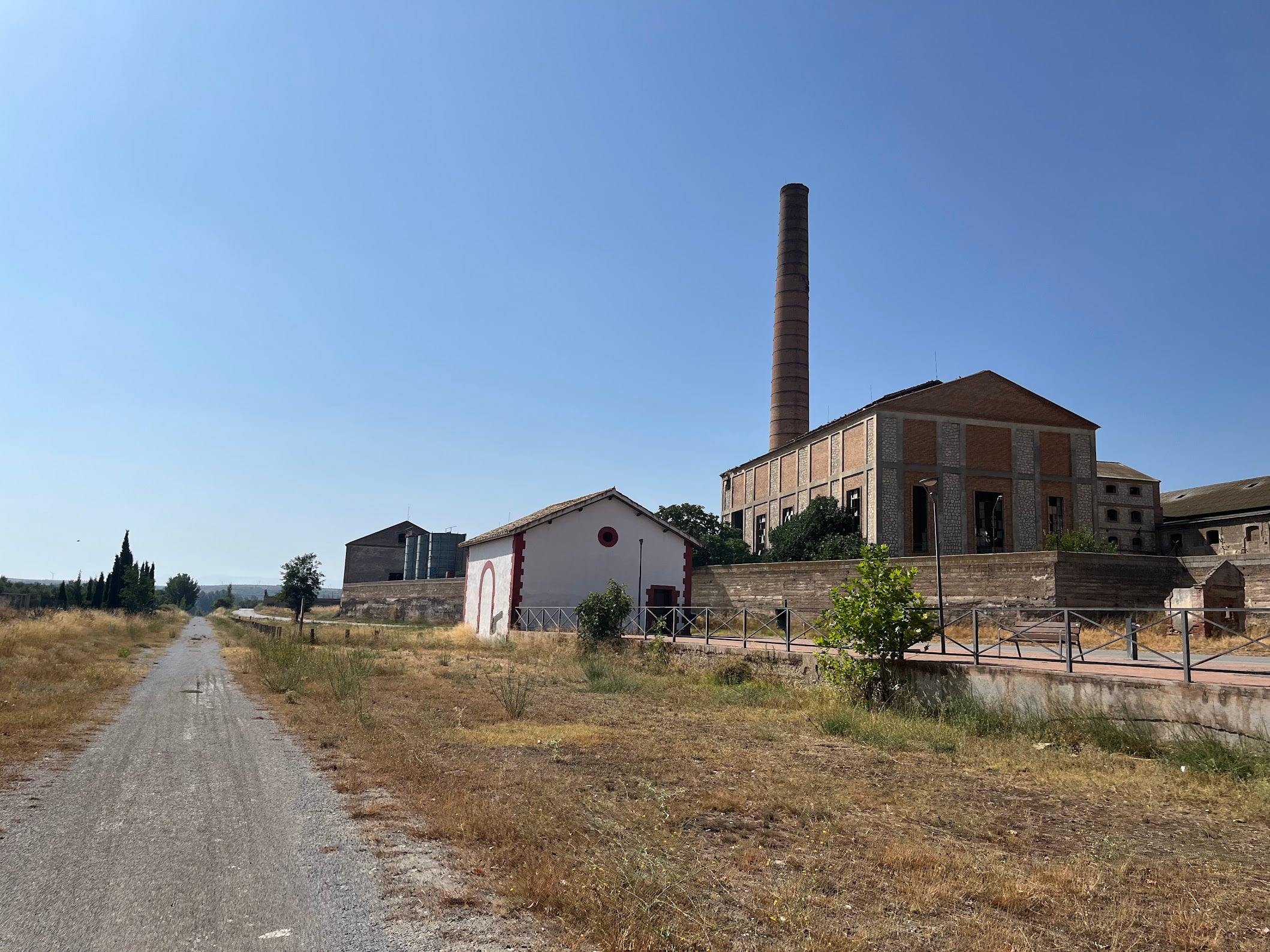
Be warned, though: this route has seen better days, and that is a big part of its charm - or its melancholy, depending on your mood. Many of the stations along the way are on the brink of collapse, and the abandoned factories beside the line emit no sound but the birds that have moved in. Do not expect crowds either: in a full day on the trail I saw three cyclists and one runner, and I am fairly sure the runner was a tourist. Once you leave Baza behind, in particular, you can ride for very long stretches without seeing another human being. The exception is Serón station, the showpiece of the line - lovingly restored, complete with a bar on the platform where the ticket office used to be. Serón itself is famous for its jamón, so lunch is sorted.
An ancient lake bed
The scenery makes more sense once you know what you are riding through. For about five million years the Hoya de Guadix-Baza was a vast inland lake with no outlet to the sea. Rivers poured off the young Sierra Nevada and Sierra de Baza and dumped their sediment into it, layer upon horizontal layer. Around half a million years ago the basin was captured by the Guadalquivir drainage and the lake emptied westward. Ever since, the streams have been slicing into that soft lake-bed fill, carving the ravines and ochre badlands that surround the trail - Europe’s most southerly desert, now protected as the UNESCO Granada Geopark.
People have made a home in this soft sediment for centuries. The region is dotted with cave houses, dug straight into the hillsides - Baza has a whole cave quarter, and nearby Guadix and Gorafe are among the troglodyte capitals of Europe. Cool in summer, warm in winter, and still very much lived in.
The route
From Baúl the trail drops off the high plateau in a long, steady false-flat descent toward Baza - 20 easy kilometres to warm up (or to skip, if you start in Baza). The surface is compacted gravel throughout: perfect for a gravel bike, but I would not bring a road bike.
Whoever fears rail trails are dull will be proven wrong here, because the scenery keeps changing. At one point the trail runs along a miniature Grand Canyon - only some 20 m deep, but a perfect scale model of the real thing. Later on you ride with the Calar Alto and the Filabres on your right and the badlands on your left, then through olive orchards, then a patchwork of other crops. It never looks the same for long.
Past Baza and Caniles the line rises almost imperceptibly for a dozen kilometres - railway gradients, never more than a few percent - to the watershed at El Hijate, where you cross from Granada into Almería province. From there it is downhill again, down the upper Almanzora valley with the Sierra de los Filabres filling the horizon on your right, until Serón station appears beside the trail. The village itself sits on a hill above the valley; the station, as always with these mining-era stops, is down by the trackbed where the ore once was.
One caveat: the old trackbed is no longer continuous. The motorway was built right through it in places, so every now and then the vía verde spits you out onto a detour - through tunnels and over some surprisingly steep hills - before you can rejoin the old railway line. Short stretches, but on a route that is otherwise all railway gradients, they sting.
Two practical notes. First: the tunnels are not lit, and inside them you genuinely cannot see a thing - bring a front light. Second, navigation: apart from the old railway distance markers there is almost no signage. With a GPS track it is easy, and the trail is hard to lose anyway - except at those detours, where a moment of attention is needed.
Fueling
Stock up in Baza and Serón - in between there is not much civilization to speak of, and I would not count on finding water along the way. The station bar in Serón is the reward at the end. In summer carry more than you think you need - the trail is exposed and shade is scarce.
If you have time to spare in Serón, the old mining settlement of Las Menas, up in the Sierra de los Filabres above the village, is where all that iron ore actually came from - an atmospheric side trip that closes the circle on the railway’s story.
When to ride
The route lives between 750 and 1,265 m on the Altiplano, and winters up here are properly cold. Spring and autumn are ideal. Summer works if you start early - being mostly downhill, the ride is over before the worst of the heat, but the exposed badlands turn into an oven by mid-afternoon.
When things go wrong
A word of warning from experience: I punctured in Serón and could not get it fixed on the spot. The locals were extremely helpful and genuinely tried, but there was nothing to be done - and that is when you discover that out here public transport is almost non-existent and there are no taxi services. Do not count on being able to bail out.
The best insurance is to make an agreement with your accommodation before you set off and have somebody on call. A special shoutout to mine, Cueva Solano in Gorafe: the owner drove 50 km from home to come and pick me up. Unbelievably friendly people, and the place itself is spectacular too - a cave house with views over the village. If the bike is beyond roadside repair, there are good mechanics in Baza.
Getting there
Granada airport is about 90 minutes by car from Baza; Almería is a similar distance. The ride is point-to-point, so arrange a pickup in Serón or ride back the way you came - the return to Baúl is a 61 km false-flat climb, which turns an easy day into a proper one.
I rode this from a base in Gorafe, about 45 minutes away - which also puts the Gorafe desert gravel loop on the menu. The two make a great contrasting pair: this one for the easy day, the desert loop for the epic.
You Might Also Like


Haza del Lino
Not yet discovered by the masses, this is a gem of a ride.


Ruta de la Cabra
The Goat's Path is an absolute beauty and must-do when you're in the area.


Sierra de Tejeda
One of the favorite loops of the pros when preparing for the Tour de France.
Read more
Articles covering this route, region, or country.

Top 5 cycling routes in Granada
Explore the best cycling routes in Granada. Snow-capped mountain climbs, empty valleys, butter-smooth roads, and historic cities are perfect for your next cycling holiday in Spain.

10 epic road rides in Andalucía
Discover 10 epic road cycling routes in Andalucía, Spain. Perfect for scenic rides, challenging climbs, and unforgettable cycling adventures.

Top 5 cycling routes in Málaga
Explore the best cycling routes in Málaga. Sunny coastal rides, mountain climbs, and scenic roads perfect for your next cycling holiday in Spain.