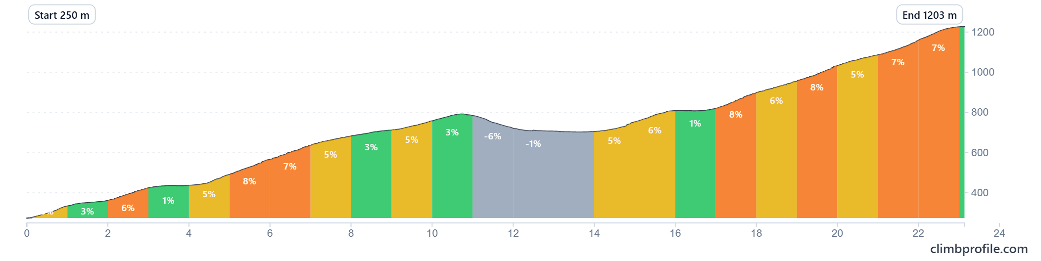
A 130 km loop from the foot of the Sierra Espuña in Totana, climbing up into the Parque Regional de Sierra Espuña and back. 2,083 m of climbing, with the main effort packed into the long ascent between km 95 and km 119.
Start point is the Convento Santuario de Santa Eulalia (also known as Jardines de la Santa), the convent and hotel wing just above Totana on the edge of the park. It is a quiet, civilised place to roll out from, with parking and a cafe.
The route
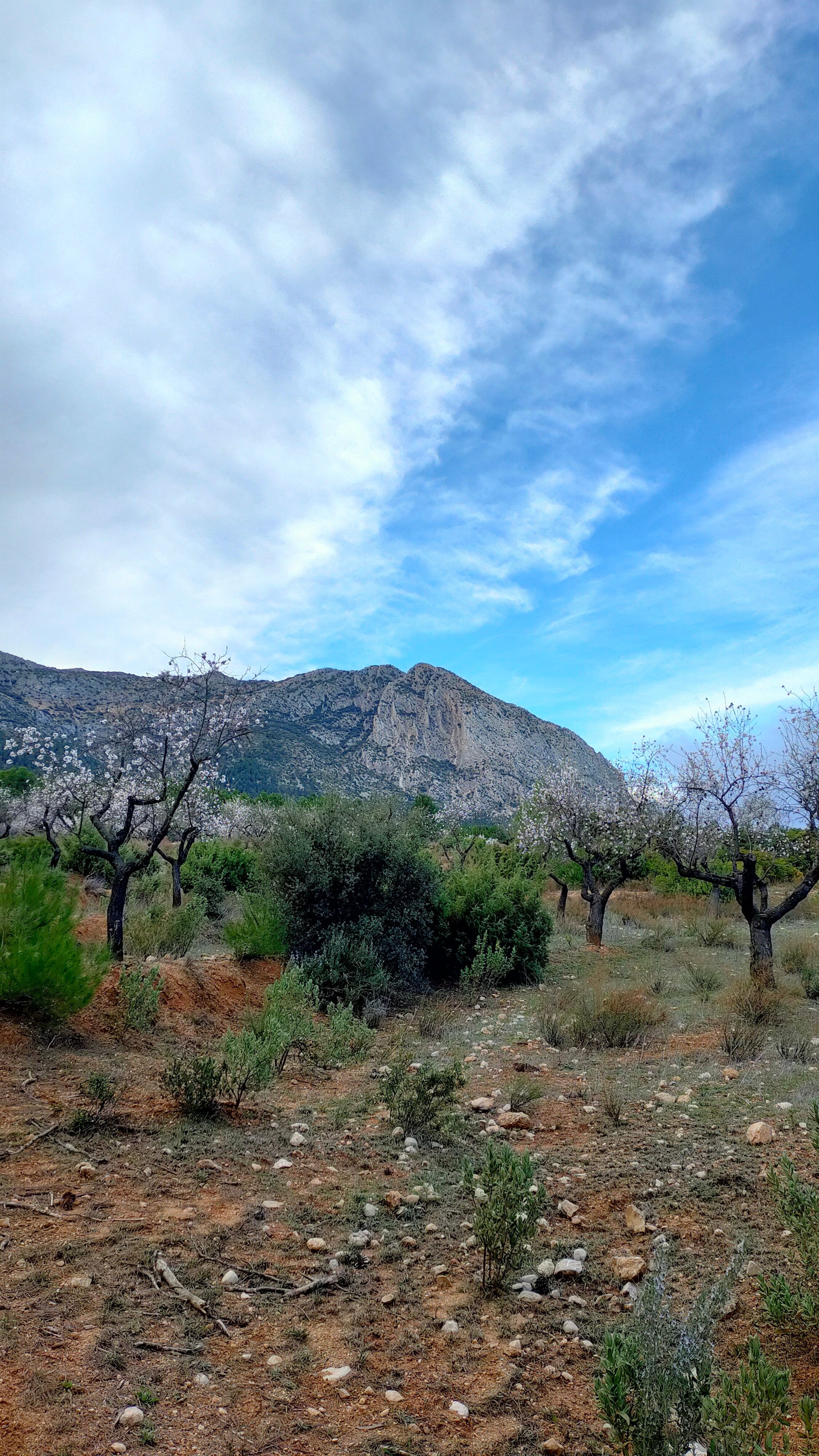
The first 90 km roll through the foothills south and west of the sierra: citrus and almond groves, quiet back roads, and a handful of small villages where you can top up water. Nothing here is dramatic, but it sets the legs up for the main event.
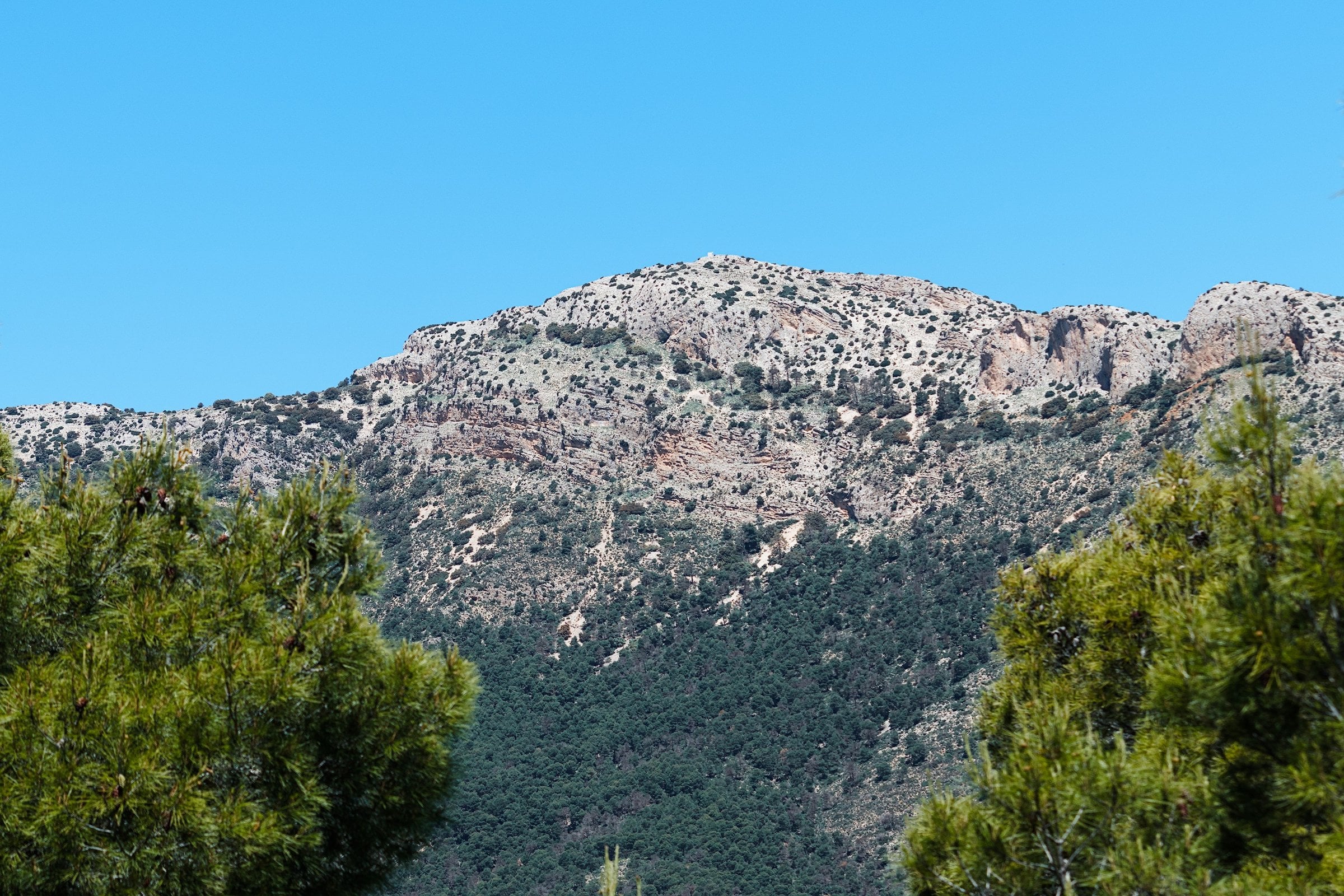
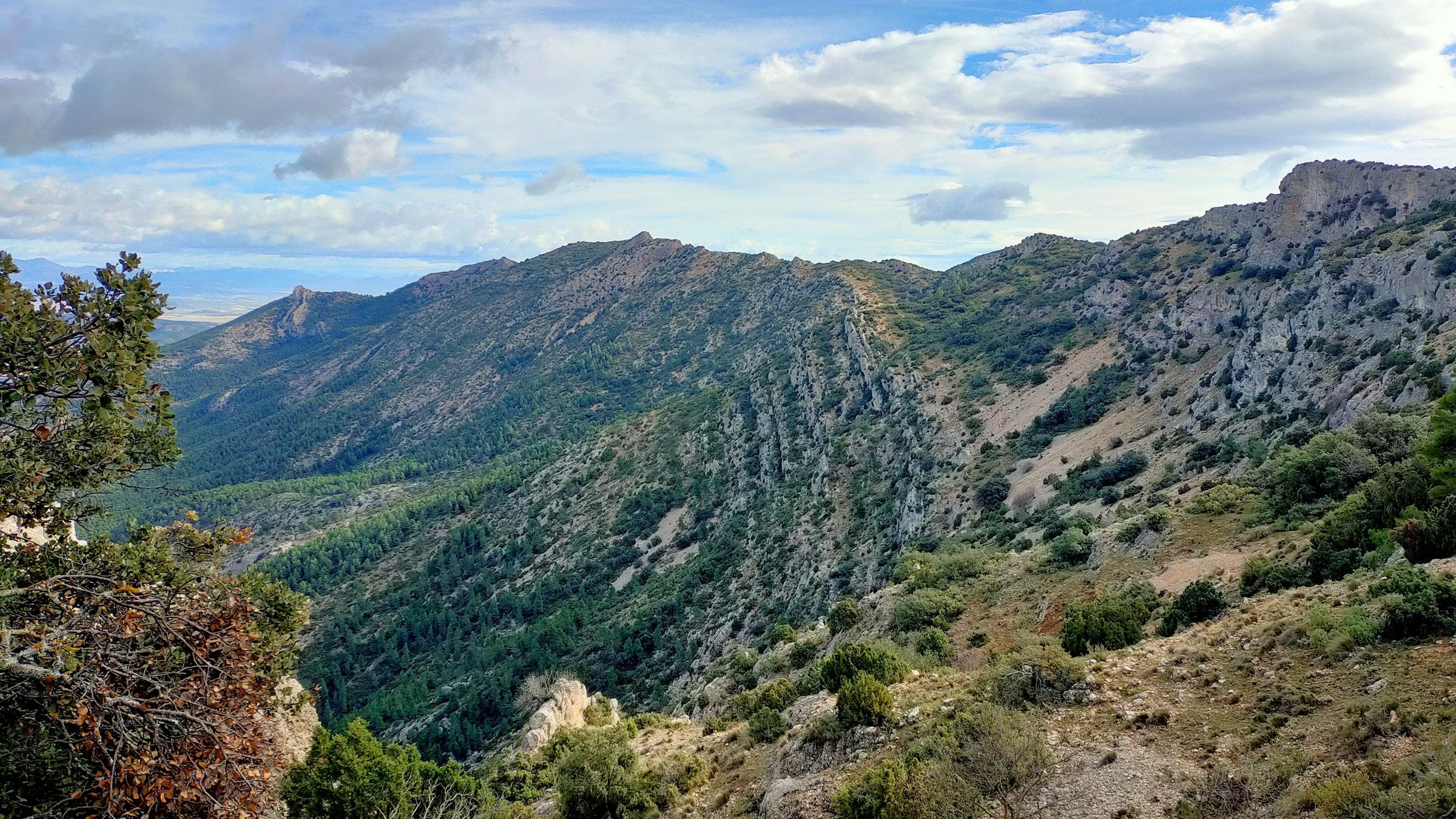
From around km 95, the road tilts up and stays up. The climb winds through pine forest into the heart of the regional park, topping out above 1,400 m at the Collado Bermejo before the long descent back toward Totana. It is the kind of climb that suits a steady tempo more than punchy efforts: long, regular gradients with a few stretches that bite.
Climb profile (km 95-119)
Variations
The loop is designed to be flexible.
- Short day: cut west earlier and skip the high section, dropping the route to around 90 km with most of the climbing removed.
- Standard: ride the full 130 km loop as drawn, including the Collado Bermejo climb.
- Long day: extend the high section by linking in additional roads inside the park (there are several signed routes and a couple of dead-end climbs worth doing if the legs are good).
Whichever option you pick, plan for the climb being remote: there are no shops or fountains once you are inside the park, so carry food and water for the full ascent.
Fueling
Plan stops in Totana, Aledo, or one of the villages on the southern flank before starting the climb. Once you are past Aledo and into the park proper, expect nothing until you are back on the south side.
When to ride
The sierra summits sit above 1,400 m. March to May and September to November are the sweet spots. Summer is rideable if you start at sunrise, but valley temperatures can push past 38°C and the climb has long exposed stretches. Winter mornings on the climb are properly cold.
Getting there
Murcia airport (RMU) is the closest, around 45 minutes by car. Alicante (ALC) is about 90 minutes north and has more flight options. Totana itself is on the A-7 motorway between the two.
You Might Also Like


Calar Alto
Epic climb to the otherworldly Calar Alto Observatory.


Alto de Velefique
The Spanish equivalent of Alpe d'Huez.

Velefique & Collado del Ramal
A brutal desert double-header linking Alto de Velefique with the savage Collado del Ramal.
Read more
Articles covering this route, region, or country.
10 epic road rides in Andalucía
Discover 10 epic road cycling routes in Andalucía, Spain. Perfect for scenic rides, challenging climbs, and unforgettable cycling adventures.

Top 5 cycling routes in Granada
Explore the best cycling routes in Granada. Snow-capped mountain climbs, empty valleys, butter-smooth roads, and historic cities are perfect for your next cycling holiday in Spain.

Top 5 cycling routes in Málaga
Explore the best cycling routes in Málaga. Sunny coastal rides, mountain climbs, and scenic roads perfect for your next cycling holiday in Spain.