An epic MTB adventure through the Montes de Málaga. Starting from the capital, you climb past the botanical gardens to the dam before tackling steep, rocky trails to Vendo Miel. The narrative is relentless: unforgiving climbs on weathered trails, sinkholes, loose rocks, and gradients exceeding 20%. It feels like 70km of climbing and 25km of concentrated descent. At 800m altitude, a deceptive plateau offers brief respite before a final brutal climb to Mirador Vázquez Sell. Sanctuary comes at a cost: this is a properly tough ride where you won’t see another soul for hours.
Route
Start in Málaga capital and make your way up to the botanical gardens and then the dam (Presa del Agujero). This part follows the same route as the road towards Casabermeja. Right after the tunnel and the popular Venta el Túnel, you go right.
A steep tarmac road and a bit later a dirt road littered with sharp rocks will be your companion de route. The road ends up at Vendo Miel, the summit of the first climb of the ride to Casabermeja. You go down this spectacular route for a few kilometers, until you make a left to descend further into the valley and go under the highway, entering the Montes de Málaga.
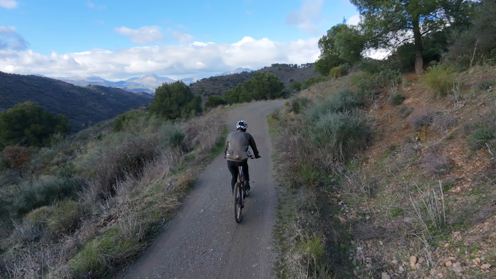
The narrative of this ride is steep, unrelenting climbs on trails that have seen better days. With rainfall inevitably come sinkholes and big rocks falling from the mountain. This is a tough ride. Don’t be surprised to see gradients higher than 20%. There’s no way to find a rhythm and you’ll be riding up a lot more than you’ll be going down. It actually just feels like 70km of climbing and 25km of concentrated downhill.
Once you hit an altitude of 800m in the Montes, you somewhat find yourself on a plateau with smaller stretches of going up and down, but not enough to rest your legs! A final steep climb after the Mirador Martínez Falero up to Mirador Vázquez Sell, then it’s mostly downhill following the Picapedreros route.
It’s a nice day out, and in the remote parts of the park you’ll be all alone, not seeing other humans for hours. Sanctuary comes at a cost: this is a properly tough ride.
You Might Also Like


The classic loop: Puerto del León
A punchy ride through the Montes de Málaga with more than 1000m of elevation gain in less than 50 km.


Casabarmeja - Colmenar
The road of the 1000 turns to Casabermeja is the perfect training climb.


Almogía - Villanueva
A wonderful loop of the Embalse de Casasola.
Read more
Articles covering this route, region, or country.

Top 5 cycling routes in Málaga
Explore the best cycling routes in Málaga. Sunny coastal rides, mountain climbs, and scenic roads perfect for your next cycling holiday in Spain.

10 epic road rides in Andalucía
Discover 10 epic road cycling routes in Andalucía, Spain. Perfect for scenic rides, challenging climbs, and unforgettable cycling adventures.

Top 5 cycling routes in Granada
Explore the best cycling routes in Granada. Snow-capped mountain climbs, empty valleys, butter-smooth roads, and historic cities are perfect for your next cycling holiday in Spain.