A mountain bike route that follows more or less the Picapedreros route, goes up to the mirador and then flies down back to Málaga.
Route
This MTB route takes you through the Montes de Málaga Natural Park, following a similar path to the Picapedreros route but extending up to the mirador (viewpoint) for spectacular panoramic views before descending back to Málaga.
The first part of the route follows the Picapedreros track, which is steep for the most part. The track is wide and non-technical, but the sharp rocks make this section a real challenge -you’ll need to pick your line carefully and maintain focus as you climb through the rugged terrain.
After the initial gravel climb, you’ll join a small section of the A-7000 road that goes to Fuente de la Reina. This brief tarmac section provides a welcome respite from the rocky trail before you reach the mirador.
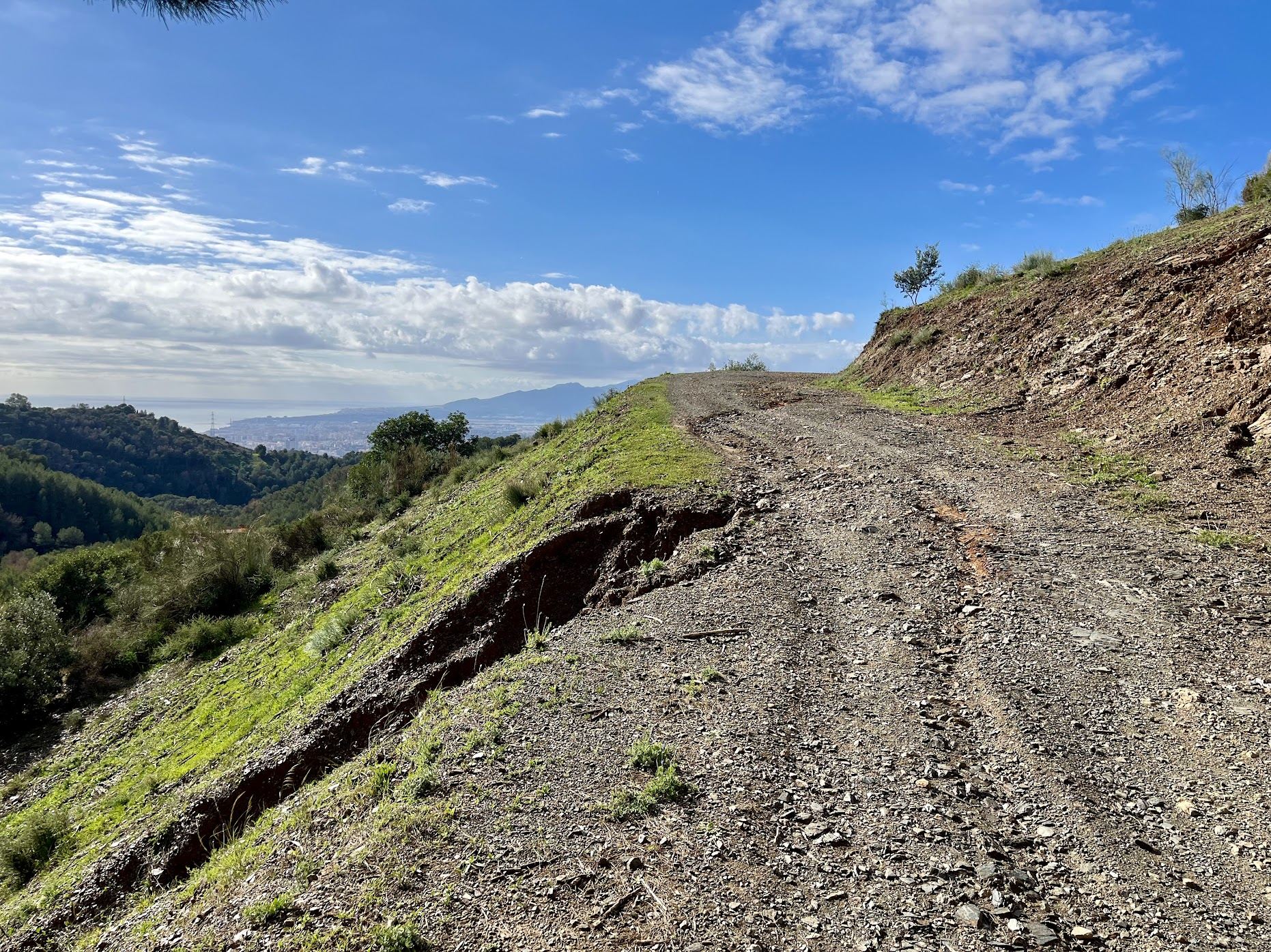
At the mirador, you’re rewarded with incredible views over the Montes de Málaga and the coastline. But the real reward is what comes next: you fly down. The descent follows a narrower track that’s in pretty bad shape due to recent rainfall, with sharp rocks scattered throughout. However, it’s heaps of fun and fast -and best of all, there’s no traffic to worry about. Just you, your bike, and the thrill of the descent back to Málaga.
You Might Also Like


The classic loop: Puerto del León
A punchy ride through the Montes de Málaga with more than 1000m of elevation gain in less than 50 km.


Casabarmeja - Colmenar
The road of the 1000 turns to Casabermeja is the perfect training climb.


Almogía - Villanueva
A wonderful loop of the Embalse de Casasola.
Read more
Articles covering this route, region, or country.

Top 5 cycling routes in Málaga
Explore the best cycling routes in Málaga. Sunny coastal rides, mountain climbs, and scenic roads perfect for your next cycling holiday in Spain.

10 epic road rides in Andalucía
Discover 10 epic road cycling routes in Andalucía, Spain. Perfect for scenic rides, challenging climbs, and unforgettable cycling adventures.

Top 5 cycling routes in Granada
Explore the best cycling routes in Granada. Snow-capped mountain climbs, empty valleys, butter-smooth roads, and historic cities are perfect for your next cycling holiday in Spain.