
Route Details
Steepest kilometre
The hardest continuous kilometre of Gravel - Coín, measured from the GPX track.
- Gradient
- 4.3% Steady
- Where
- km 58.9 - 59.9
- Rise
- +43m
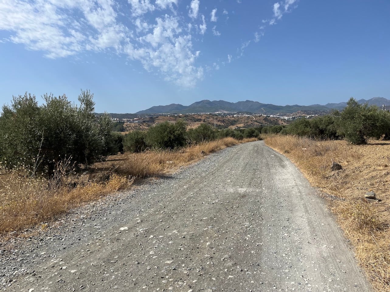
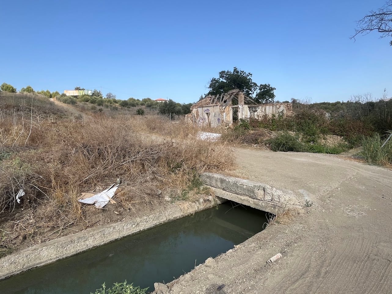
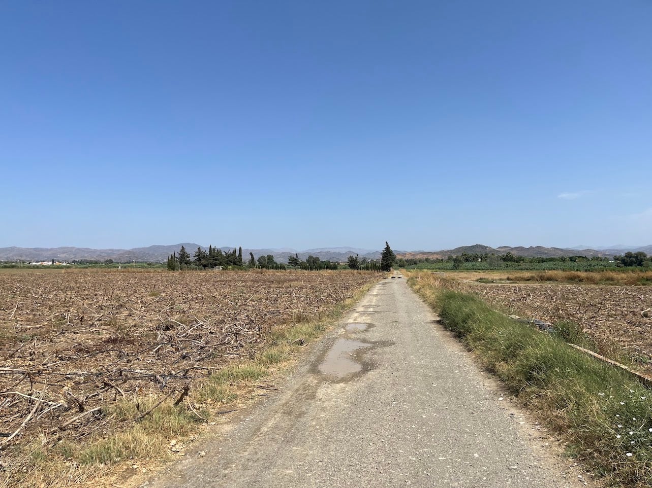
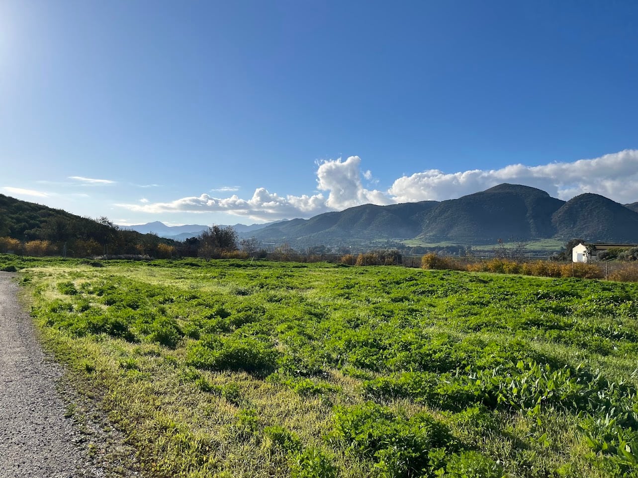
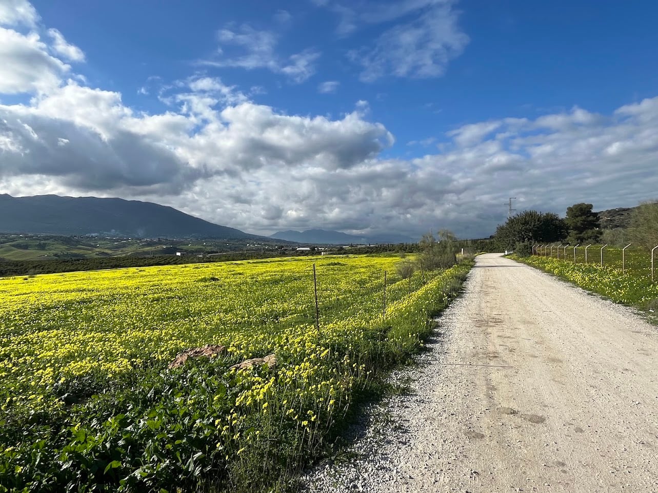
Let’s be honest: this is not the most beautiful route in the province. But that’s not the point. This loop through the Guadalhorce valley is a proper escape from the city, with some genuinely nice stretches of gravel and, for once, no killer climbs in sight.
It’s also one of the very few routes departing from Málaga that you can genuinely call a gravel route. The usual alternatives, the Sierra de Mijas and the Montes de Málaga, are really MTB territory: steep hills and an unpleasant surface littered with sharp rocks. This one you can actually enjoy on a gravel bike.
Route
The first part is the same as the airport loop, following the Guadalhorce out of the city. But instead of turning back, this route keeps going up the valley for as long as possible, all the way to the train station of Cártama, where you briefly enter civilization: for a few kilometers, you follow a vía de servicio alongside the busy A-357.
Once off the service road, the landscape opens up and you ride towards the quiet town of Villa del Guadalhorce. Funnily enough, the tarmac road here is worse to ride on than the gravel, which you’ll be back on soon enough.
Next to the A-355 there are a few roads to pick from, all heading southwest towards the popular town of Coín, the furthest point of the route. A few kilometers on the undulating A-404 (error 404: flat road not found) and the MA-3300 later, you turn left back onto our preferred gravel road.
This is a lumpy part of the ride, and while there are no killer climbs on this route, a couple of steep ramps kicking up to nearly 20% will eventually take you to Sunview Park. There’s no way around it: this is the province of Málaga, and completely flat simply doesn’t exist here. At least the gravel roads out here see very little traffic: the odd farmer, maybe another cyclist, and that’s about it.
From Sunview Park, it’s mostly downhill towards the exception that proves the rule: the flat and quiet roads and gravel tracks around the airport. From there, you rejoin the Paseo Marítimo back towards the Málaga city center. At 87 kilometers with around 650 meters of climbing, it’s a proper day out on the gravel bike without ever being brutal, and a great option for winter miles or an easier day between harder rides in the mountains. You won’t come home with spectacular summit photos, but you will come home with fresh legs and your head cleared.
Fueling up
Cártama, Coín, and the Alhaurín villages all lie on or just off the route, so there’s no shortage of places to stop for a café con leche and a tostada along the way.
You Might Also Like


The classic loop: Puerto del León
A punchy ride through the Montes de Málaga with more than 1000m of elevation gain in less than 50 km.


Casabarmeja - Colmenar
The road of the 1000 turns to Casabermeja is the perfect training climb.


Almogía - Villanueva
A wonderful loop of the Embalse de Casasola.
Read more
Articles covering this route, region, or country.

Top 5 cycling routes in Málaga
Explore the best cycling routes in Málaga. Sunny coastal rides, mountain climbs, and scenic roads perfect for your next cycling holiday in Spain.

10 epic road rides in Andalucía
Discover 10 epic road cycling routes in Andalucía, Spain. Perfect for scenic rides, challenging climbs, and unforgettable cycling adventures.

Top 5 cycling routes in Granada
Explore the best cycling routes in Granada. Snow-capped mountain climbs, empty valleys, butter-smooth roads, and historic cities are perfect for your next cycling holiday in Spain.