This course follows much of the route of the recommended Sierra Nevada Límite, a classic gran fondo in the region. However, it skips the final, grueling ascent to the Sierra Nevada ski station, making this version a bit more accessible while still offering a full day of spectacular riding.
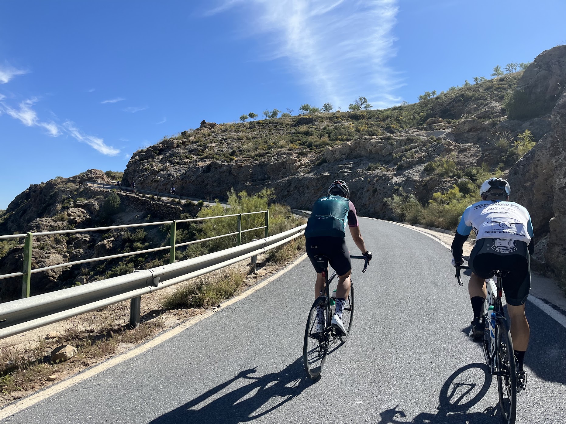
It’s an out-and-back ride that takes you from the historic city of Granada to Purullena, a small village nestled in the foothills of the Sierra Nevada. Along the way, you’ll pass through a landscape that is as dramatic as it is diverse -dry, rugged hills, lush valleys, quaint whitewashed villages, and even ancient cave dwellings near Guadix, giving the ride a near-otherworldly atmosphere.
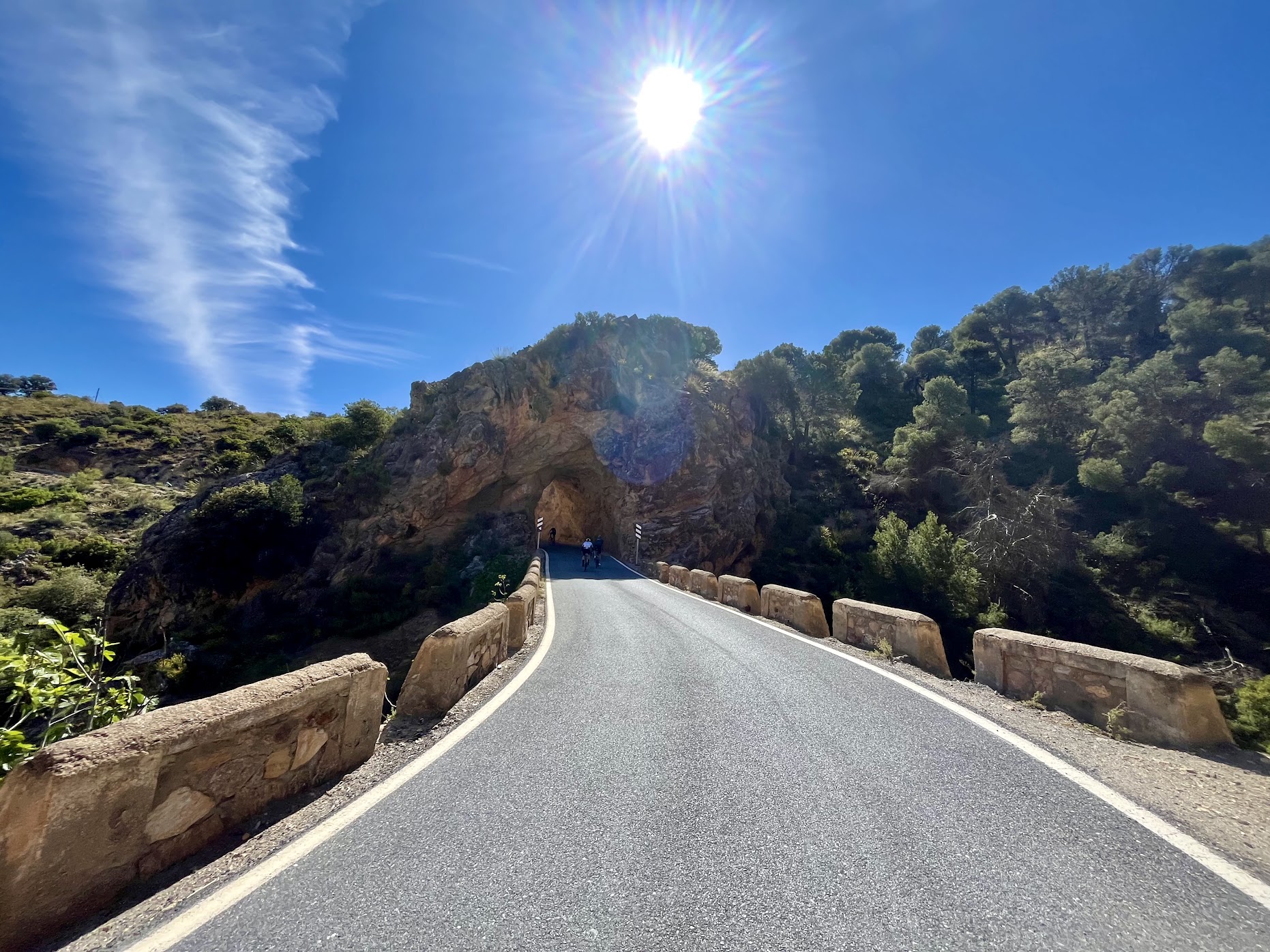
Not far from the turnaround point, the route veers off slightly to take in the village of La Peza. This charming detour is well worth it. The climb here is short but scenic, winding its way through pine forests and offering beautiful views of the surrounding countryside. One of the highlights is a tiny tunnel carved through the rock -a delightful and unexpected feature that adds a touch of magic to the ride.
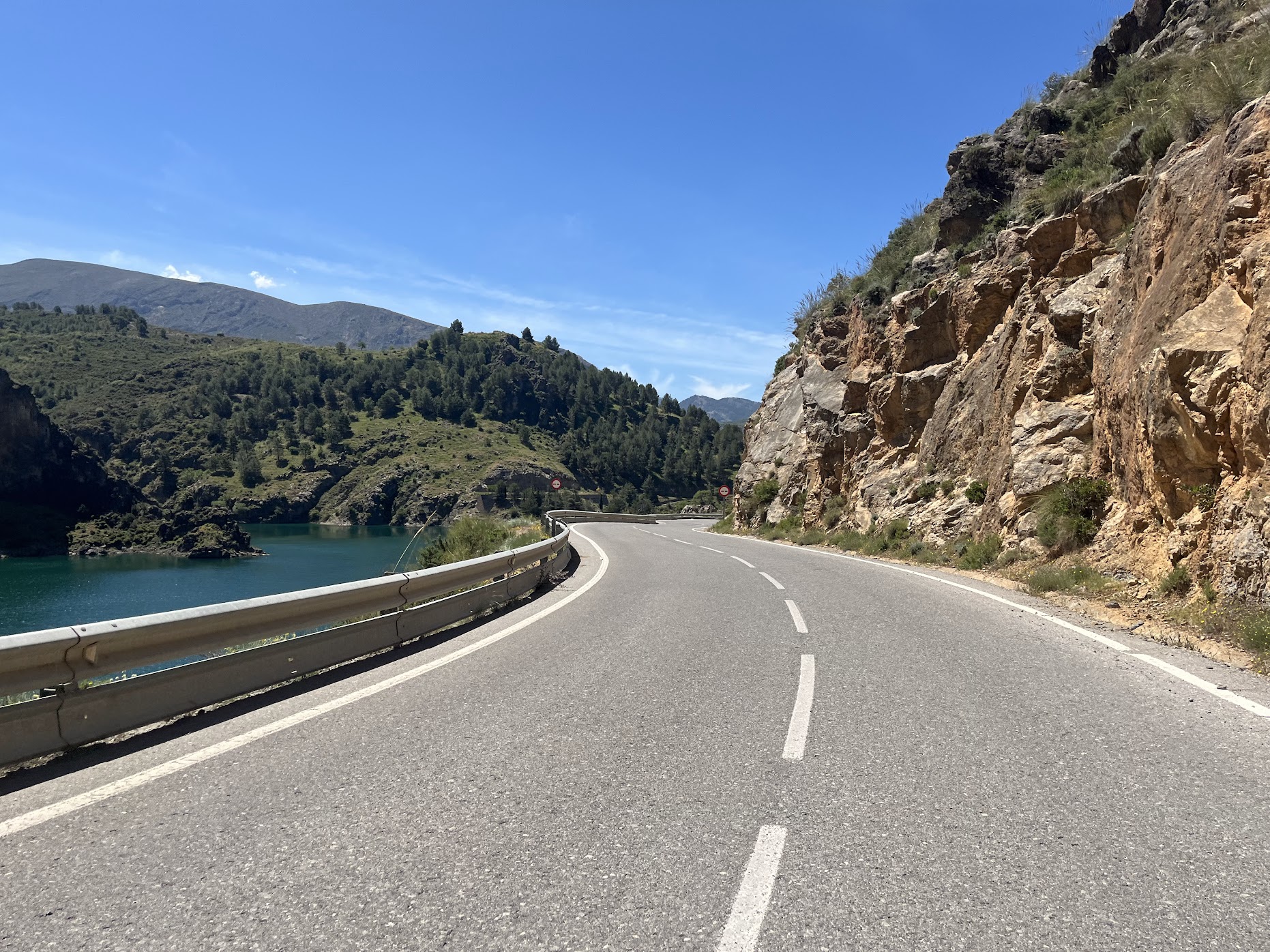
The route includes two notable reservoirs, both of which are perfect spots to stop, stretch your legs, and take in the view:
- — Embalse de Francisco Abellán sits just before Purullena and is framed by steep cliffs and rolling hills. It’s an ideal spot for a photo break.
- — Embalse de Quéntar comes earlier on the route, around 20 km in, and then again on the way back.
Surrounded by forested hills, it offers a peaceful, almost hidden feel. The descent after the second crossing is especially fun -fast, flowy, and framed by sweeping views.
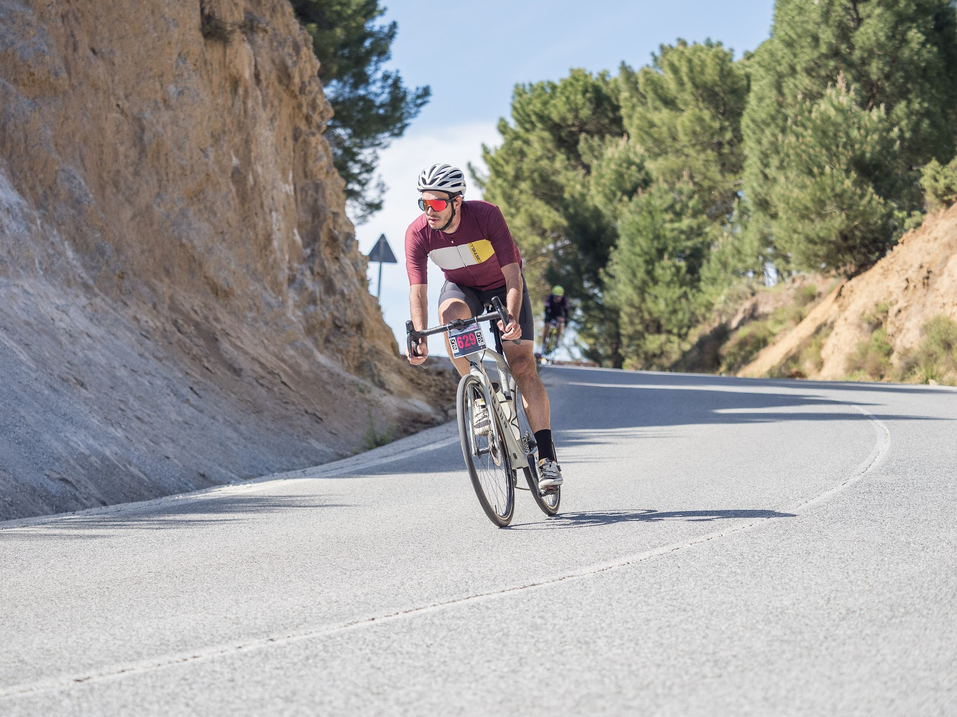
Once you pass Embalse de Quéntar for the second time, the ride trends gently downhill all the way back to Granada. This final stretch allows you to spin out your legs and take in the beauty of the landscape one last time before rolling into the city. Ending in Granada, with its rich history, stunning architecture, and excellent tapas, is the perfect reward for a memorable day on the bike.
You Might Also Like


Haza del Lino
Not yet discovered by the masses, this is a gem of a ride.


Ruta de la Cabra
The Goat's Path is an absolute beauty and must-do when you're in the area.


Sierra de Tejeda
One of the favorite loops of the pros when preparing for the Tour de France.
Read more
Articles covering this route, region, or country.

Top 5 cycling routes in Granada
Explore the best cycling routes in Granada. Snow-capped mountain climbs, empty valleys, butter-smooth roads, and historic cities are perfect for your next cycling holiday in Spain.

10 epic road rides in Andalucía
Discover 10 epic road cycling routes in Andalucía, Spain. Perfect for scenic rides, challenging climbs, and unforgettable cycling adventures.

Top 5 cycling routes in Málaga
Explore the best cycling routes in Málaga. Sunny coastal rides, mountain climbs, and scenic roads perfect for your next cycling holiday in Spain.