
You Might Also Like


Belgium, Flanders
Distance 80 km
Elevation 830m
Difficulty
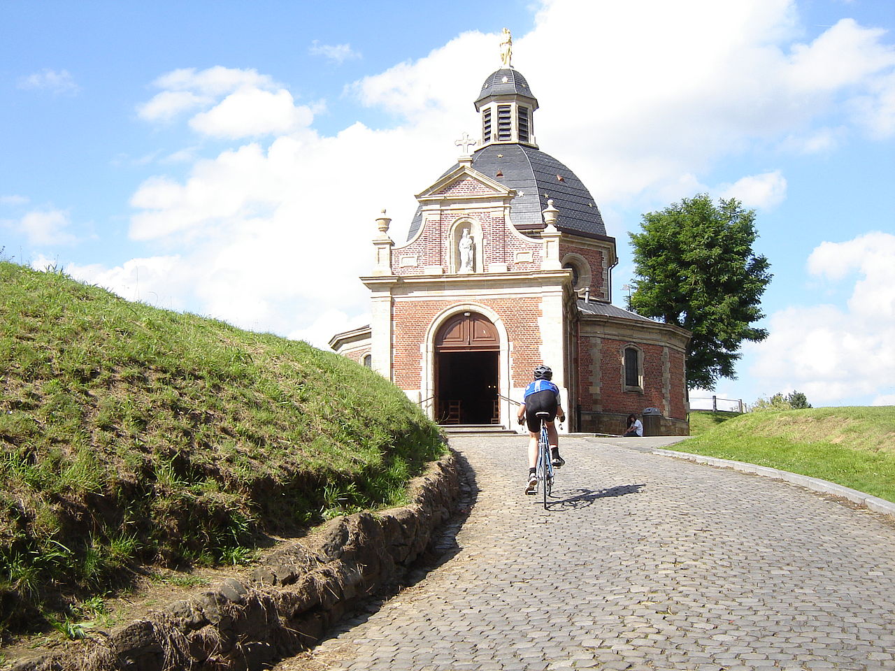
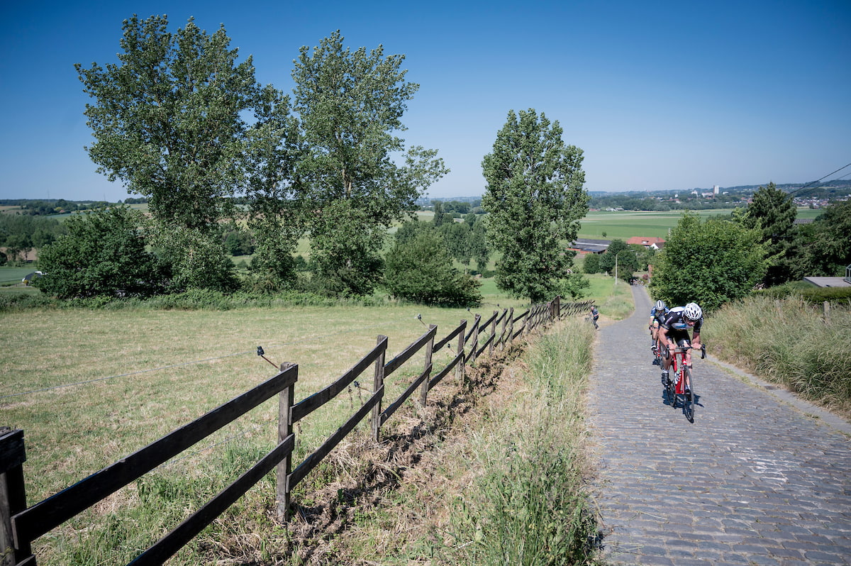
Belgium / Flanders
Tour of Flanders: Blue loop
One of the classic rides in Belgium.


Belgium, Flanders
Distance 75 km
Elevation 116m
Difficulty
Belgium / Flanders
Bruges - Ghent: the canal route
Ride from Bruges to Ghent and back along the canal. A flat and easy ride.


Belgium, Wallonia
Distance 160 km
Elevation 2700m
Difficulty
Belgium / Wallonia
Géants des Ardennes
The mini Liège-Bastogne-Liège that is just within reach for the regular Joe.